
HVAC & Rooftop Units
Food-production and industrial roofs require exact unit weights, set points, shutdown boundaries, and a controlled ground footprint before any aircraft comparison.
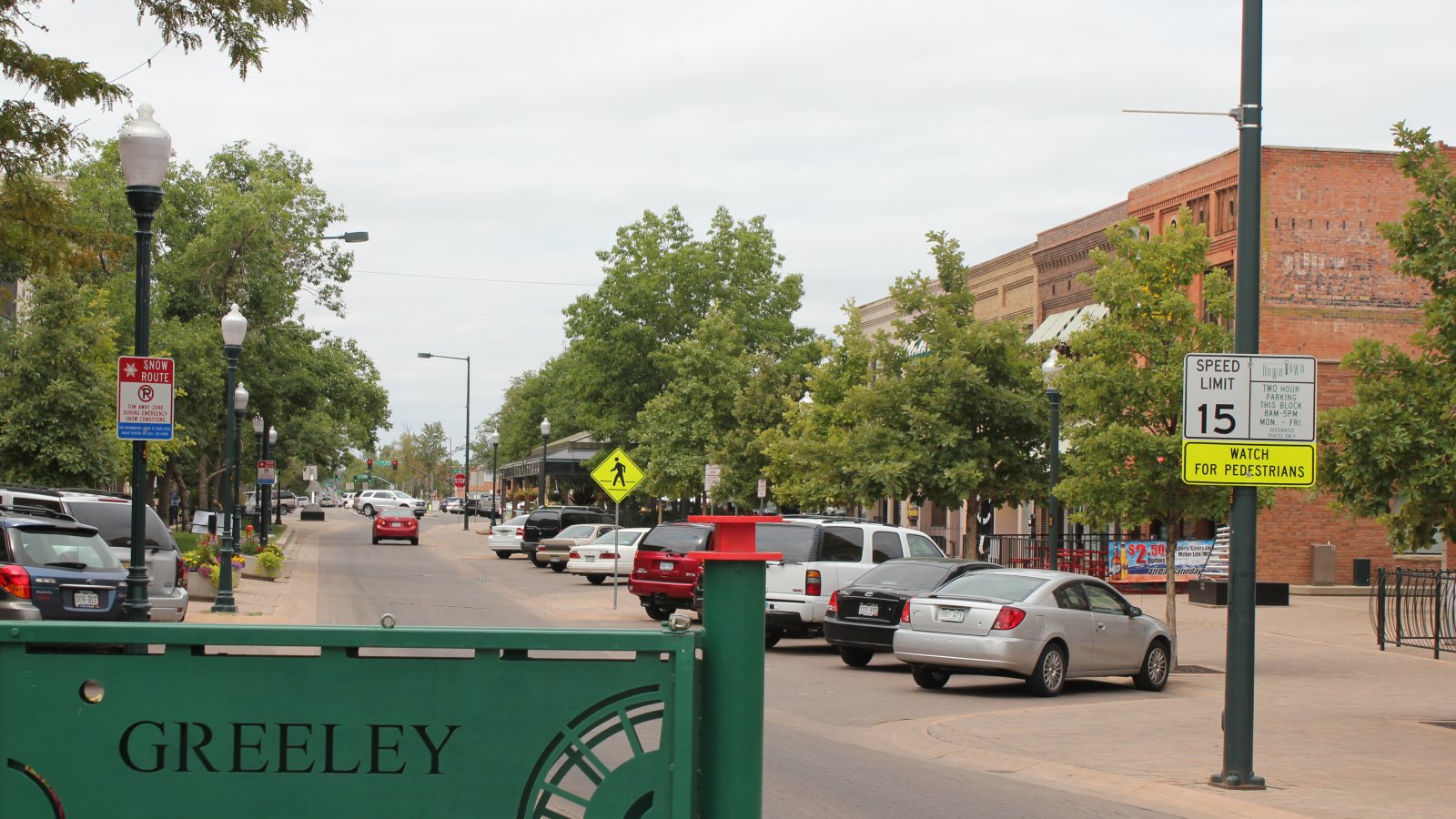
Local lift planning
A high-plains airport, severe convective weather, energy infrastructure, and working agricultural sites put obstacle review and ground access first.
The Census Bureau’s Vintage 2025 metropolitan estimates place the Greeley metro at 378,426 residents. The City identifies food and beverage production, agribusiness, and energy and utilities as established sectors, with agtech and digital infrastructure among emerging industries. Those facilities create distinct roof, utility, and process-equipment access questions rather than one generic urban lift profile.
Greeley-Weld County Airport sits three miles east of the city at 4,697 feet. The current FAA Southwest Chart Supplement entry lists a 10,000-foot primary runway and AWOS. It also flags birds and wildlife, oil rigs up to 120 feet on or near the airport, two marked helicopter parking positions, and no designated helipad. Airport staging remains a coordination question, not an assumption.
Ground access belongs in the same early review as the aircraft. Greeley defines city right-of-way as public space and runs its permit workflow through Public Space Permitting. The site survey checklist helps document the pickup zone, surface, obstacles, public boundaries, and load route before a curb lane or field edge is treated as workable staging.
Convective weather can attack both flight and ground control. A National Weather Service May 2024 summary documented two-inch hail and flash flooding in parts of Greeley during one severe storm. That event does not establish annual frequency, but it shows why exposed loads, runoff, crew shelter, and a defined weather stop belong in the schedule.
Downbursts are a direct aviation hazard, not merely a rain-delay issue. NWS Colorado wind and hail guidance describes microbursts and macrobursts as dangerous to pilots and uses 58 mph wind or one-inch hail as severe-warning thresholds. The operating decision still rests on current observations, radar, and operator limits.
The airport obstacle picture includes oil rigs up to 120 feet and wildlife activity. The current GXY entry also notes no designated helipad. Current NOTAMs, parking acceptance, taxi pavement, fuel, and the route to the work site all need direct confirmation before GXY is built into a plan.
Food-production and industrial roofs require exact unit weights, set points, shutdown boundaries, and a controlled ground footprint before any aircraft comparison.

Plant expansions and process structures can create short placements where laydown access, public-space limits, and active operations control the method.

Telecom and digital-infrastructure sites need current obstacle screening, especially around airport traffic and the oil rigs identified near GXY.

Energy and utility work can cross open plains or developed corridors. Staging, conductor control, weather, and right-of-way permission remain site-specific.

Hail, downburst wind, and flash flooding can interrupt access or damage infrastructure. Recovery work still requires verified loads and incident-controlled ground zones.
Greeley’s economic development profile names food and beverage production plus agribusiness as legacy sectors. Large plants, refrigerated facilities, grain handling, and field-adjacent sites can create rooftop or process-component placements where shutdown boundaries and pickup-zone surfaces deserve as much attention as load weight.
The same City industry profile identifies energy and utilities as an established sector and digital infrastructure as emerging. Line, substation, tower, and facility work may face oil-field obstacles, active rights-of-way, or remote access. Each site still needs verified ownership and a route-specific airspace review.