
HVAC & Rooftop Units
Dense commercial and institutional roofs can make street occupation the controlling comparison. Elevation and Front Range wind reduce usable aerial margin.
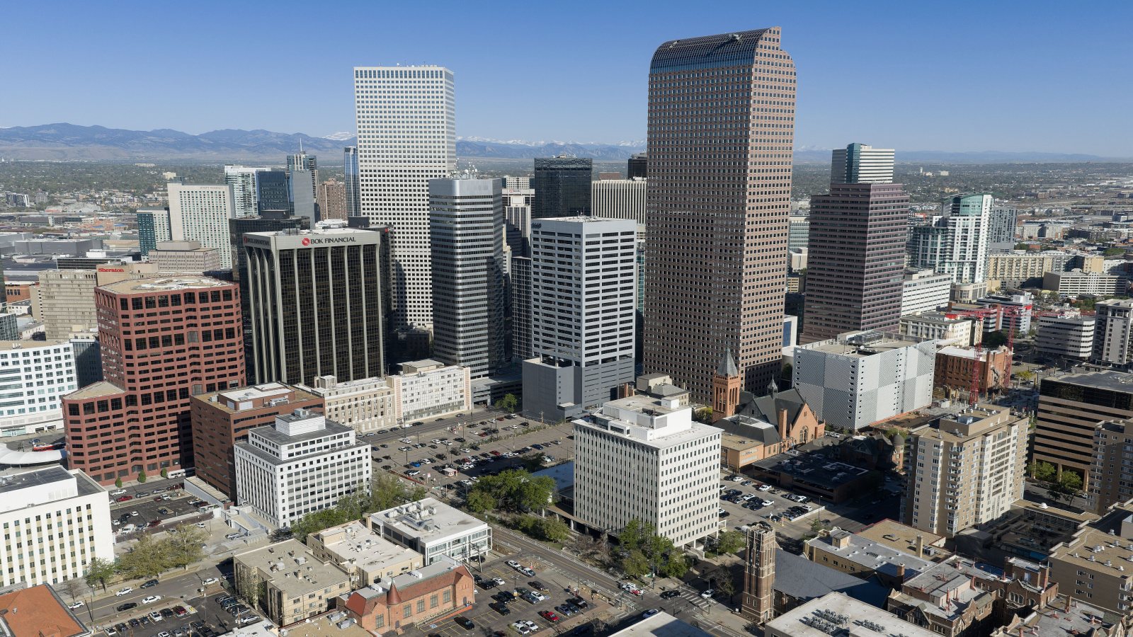
Local lift planning
High elevation, Front Range wind, busy controlled airspace, and dense public streets make aircraft margin and ground control equally important.
The Census Bureau’s Vintage 2025 metropolitan estimates place the Denver-Aurora-Centennial metro at 3,092,037 residents. That scale combines downtown roofs, industrial corridors, utility systems, aviation facilities, and foothill access in one metro. The exact site and route matter more than the Denver label.
Centennial Airport is useful local planning context. The current FAA Southwest Chart Supplement lists a 5,885-foot elevation, continuous Class D service, Jet A, three runways, and a 10,001-foot primary runway. Helicopter operations coordinate the landing-zone location through an FBO, while front-ramp helicopter operations are not advised.
Ground occupation is a separate approval track. Denver’s right-of-way FAQ requires a Street Occupancy Permit whenever work occupies public right-of-way and a traffic-control plan for every closure. The urban congested-area guide explains why that ground footprint can control a short lift.
Centennial’s 5,885-foot field elevation and density-altitude advisory displays make aircraft performance an early gate. The density-altitude planning guide explains why usable load must account for forecast temperature, site elevation, fuel, rigging, and hover condition rather than brochure payload.
Airport-area complexity is documented. The current Centennial entry identifies close parallel runways, numerous cranes, large power lines south of the airport, noise-sensitive areas, and airport-specific helicopter landing procedures. An off-airport site needs its own obstacle and route review.
Front Range wind can stop both flight and ground work. The NWS Denver/Boulder high-wind guide explains Chinook and Bora mechanisms and identifies flying debris, reduced visibility, downed power lines, and vehicle instability as consequences. Current observations and operator limits govern the actual window.
Dense commercial and institutional roofs can make street occupation the controlling comparison. Elevation and Front Range wind reduce usable aerial margin.

Airport, convention, and civic sites can require short placements across active facilities. The exclusion area may be harder than the pick.

Foothill exposure, controlled airspace, cranes, and community-noise procedures make every tower route site-specific.

Front Range corridors combine wind exposure with developed ground below. Outages, accepted right-of-way access, and public control govern the method.

High wind can damage structures or power lines and disrupt road access. Recovery lifting still needs current airspace review and incident-controlled ground zones.
Denver International Airport’s official facts profile reports 732 million pounds of cargo in 2025, 172 gates, a 2.6-million-square-foot terminal, and about 300 lane miles of airport roads. Equipment placement near that system has to respect secure boundaries, airport authority, and continuous facility operations.
Denver’s major financing initiatives include the 250-acre National Western Center, Colorado Convention Center expansion, and RISE Denver infrastructure projects. These are examples of civic and commercial environments where structural, rooftop, or utility placement can collide with street access.