
HVAC & Rooftop Units
Manufacturing and life-science facilities need exact rooftop unit data, set geometry, and a tightly defined sequence that protects active operations.
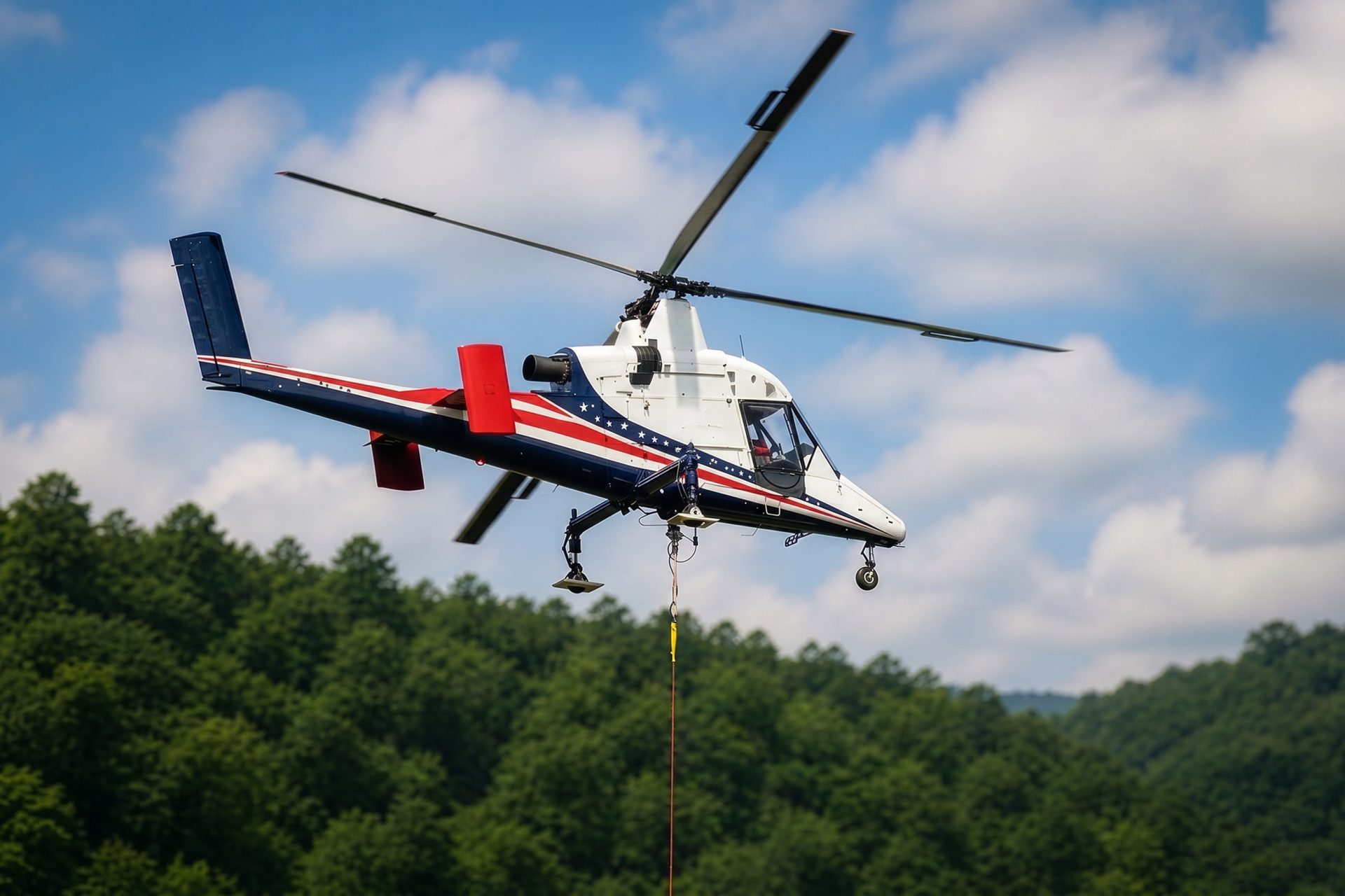
Local lift planning
Foothill wind, a 5,020-foot regional airport, and tightly managed public rights-of-way make weather and staging inseparable.
The Census Bureau’s Vintage 2025 metropolitan estimates place the Fort Collins-Loveland metro at 377,292 residents. Fort Collins identifies technology, biosciences, and advanced manufacturing as strong clusters. That makes research buildings, controlled facilities, and industrial campuses useful local planning contexts without implying that any specific lift is scheduled.
Northern Colorado Regional Airport lies nine miles southeast of Fort Collins at 5,020 feet. The current FAA airport entry lists an 8,500-foot primary runway, AWOS and ATIS, and published part-time NOCO Tower hours. It also notes that the Runway 24 threshold is not visible from the tower. Airport use, tower status, parking, and NOTAMs need direct confirmation.
A public-space footprint can govern the schedule before the aircraft does. The City’s Traffic Control Permits (WATC) page requires a traffic-control plan when work in public right-of-way changes normal vehicle, bicycle, or pedestrian movement. The lift intake checklist provides a practical place to record those ground constraints beside the load and site data.
Foothill wind can close an exposed-load window abruptly. The NWS Denver/Boulder high-wind guide explains Chinook, Bora, and pressure-gradient events and identifies Fort Collins among foothill locations that can see 60 to nearly 100 mph winds in major episodes. Those are extreme-event ranges, not a daily forecast.
Warm-season storms add a different hazard. NWS wind and hail guidance explains that thunderstorm downbursts can be dangerous to pilots and uses 58 mph wind or one-inch hail as severe-warning thresholds. A current radar and observation check belongs at the weather decision point.
Fort Collins restricts work near signalized intersections, arterials, and collectors during morning and afternoon peaks, while full closures are reserved for special conditions. The City traffic-control permit page makes that ground schedule part of early feasibility rather than a detail left for lift day.
Manufacturing and life-science facilities need exact rooftop unit data, set geometry, and a tightly defined sequence that protects active operations.

Advanced-manufacturing components require documented pickup geometry, rigging interfaces, destination clearances, and an approved laydown area.

Foothill communications sites can combine rough access with severe wind exposure. Current observations and conservative wind limits control the window.

Electric and water infrastructure work needs a ground plan that protects active access, existing utilities, and any affected public right-of-way.
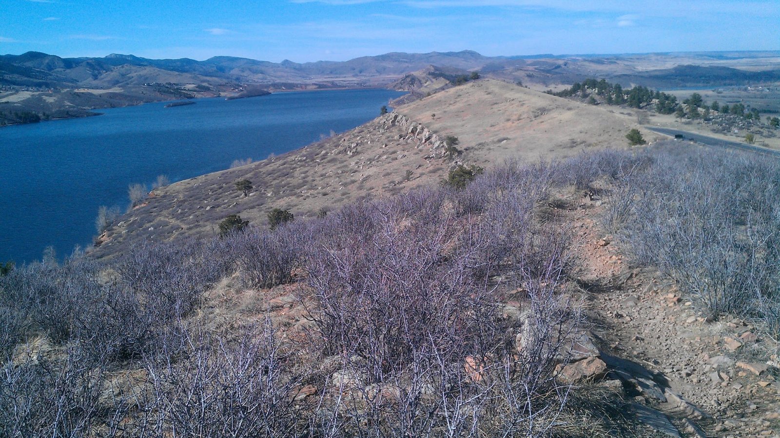
Reservoir and foothill sites can turn a short map distance into a difficult road approach. Elevation, wind, fuel, and accepted staging control the comparison.
The City’s business resources profile identifies technology and advanced manufacturing clusters. Equipment placement, plant expansion, rooftop mechanical work, and utility upgrades at these sites require verified loads plus a route that respects controlled areas and active production.
Biosciences and life sciences are also named in the Fort Collins business profile. Controlled equipment moves and mechanical replacements may face clean access, shutdown, or vibration constraints that cannot be inferred from the building type alone.