
Transmission Line Stringing
The municipal grid includes extensive overhead transmission and projects in established areas. Clearances, outages, easements, and public control set the case.
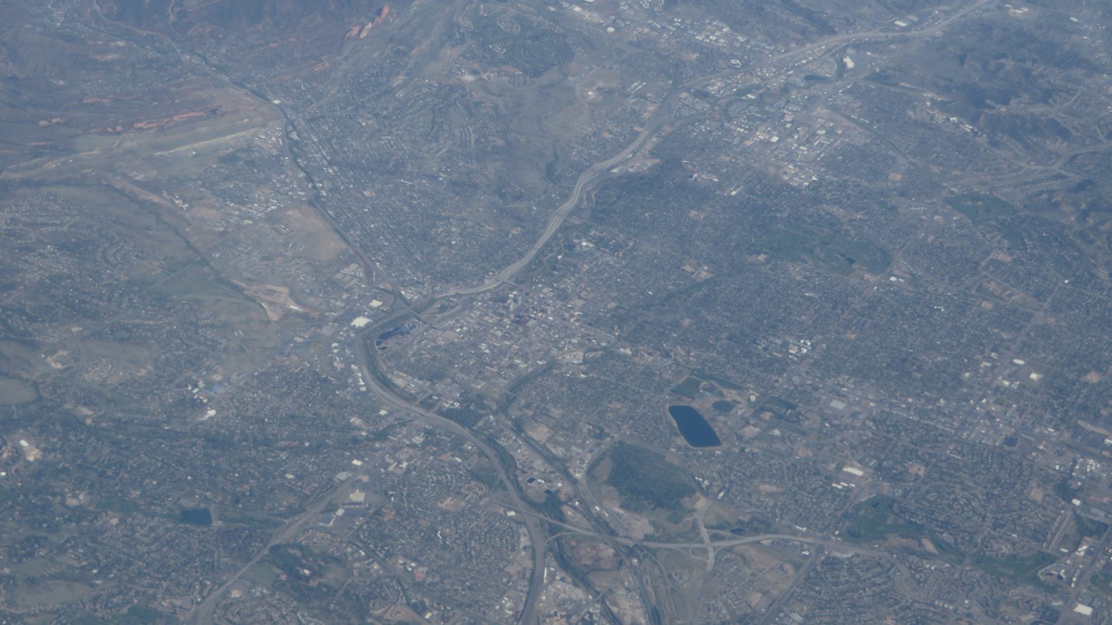
Local lift planning
A 6,187-foot airport, military training, foothill weather, and growing utility corridors make performance and coordination first-order constraints.
Photo: Ken Lund, CC BY-SA 2.0, via Wikimedia Commons. Cropped, resized, and compressed under CC BY-SA 2.0.
The Census Bureau’s Vintage 2025 metropolitan estimates place the Colorado Springs metro at 781,796 residents. The metro spans a high plains city, military facilities, industrial corridors, and steep western access. A project address has to settle which local authority and terrain profile actually apply.
Colorado Springs Municipal is the primary local aviation reference. The current FAA Southwest Chart Supplement lists a 6,187-foot elevation, Class C service, Jet A, low-level wind-shear alerts, and a 13,500-foot primary runway. It also warns of intensive U.S. Air Force student training.
City right-of-way work requires separate municipal coordination. Colorado Springs Public Works lists concrete, excavation, and traffic-control permits and places Right-of-Way Management under City Engineering. The lift site survey checklist helps record the intended staging surface and support-vehicle route before the aviation method is fixed.
High elevation affects usable capacity. The FAA airport entry gives a 6,187-foot field elevation. The work site may be higher or lower, so forecast temperature, full suspended weight, fuel, rigging, and hover condition have to be checked against current aircraft data.
Airspace and military traffic add coordination. The current Colorado Springs entry lists Class C service, intensive USAF student training, and tower-visibility limitations over parts of the airport. Those facts do not replace a route-specific review for an off-airport lift.
The local NWS Colorado Springs hazard guide covers severe thunderstorms with one-inch hail or 58 mph wind, flash flooding, and blizzard conditions. It does not establish event frequency or a preferred season. Current forecasts and warnings control the schedule.
The municipal grid includes extensive overhead transmission and projects in established areas. Clearances, outages, easements, and public control set the case.

Communications and defense-related sites can combine high elevation with Class C or military traffic. Obstacle and route analysis must be exact.

Medical, institutional, industrial, and commercial roofs can make crane setup compete with limited street space. Density altitude remains a first-order constraint.

Airport-area manufacturing and civic construction can involve active campuses or secure facilities. Ground authority and exclusion control matter as much as reach.

Hail, wind, flash flooding, or blizzard conditions can interrupt normal access. Incident command and verified loads remain mandatory when roads are damaged.
PlanCOS economic typologies identify aviation and military institutions as foundations of the local economy and describe established strengths in aerospace, defense, semiconductor manufacturing, distribution, and data processing. Secure or active campuses need early property and shutdown coordination.
Colorado Springs Utilities’ electric system profile reports about 60 substations, 232 miles of transmission lines, and roughly 89 percent of transmission lines overhead. Outage planning, easements, conductor clearance, and accepted staging are central to any aerial-method review.