
HVAC & Rooftop Units
Downtown and waterfront roofs can be constrained by occupied streets, coastal wind, and limited crane positions.
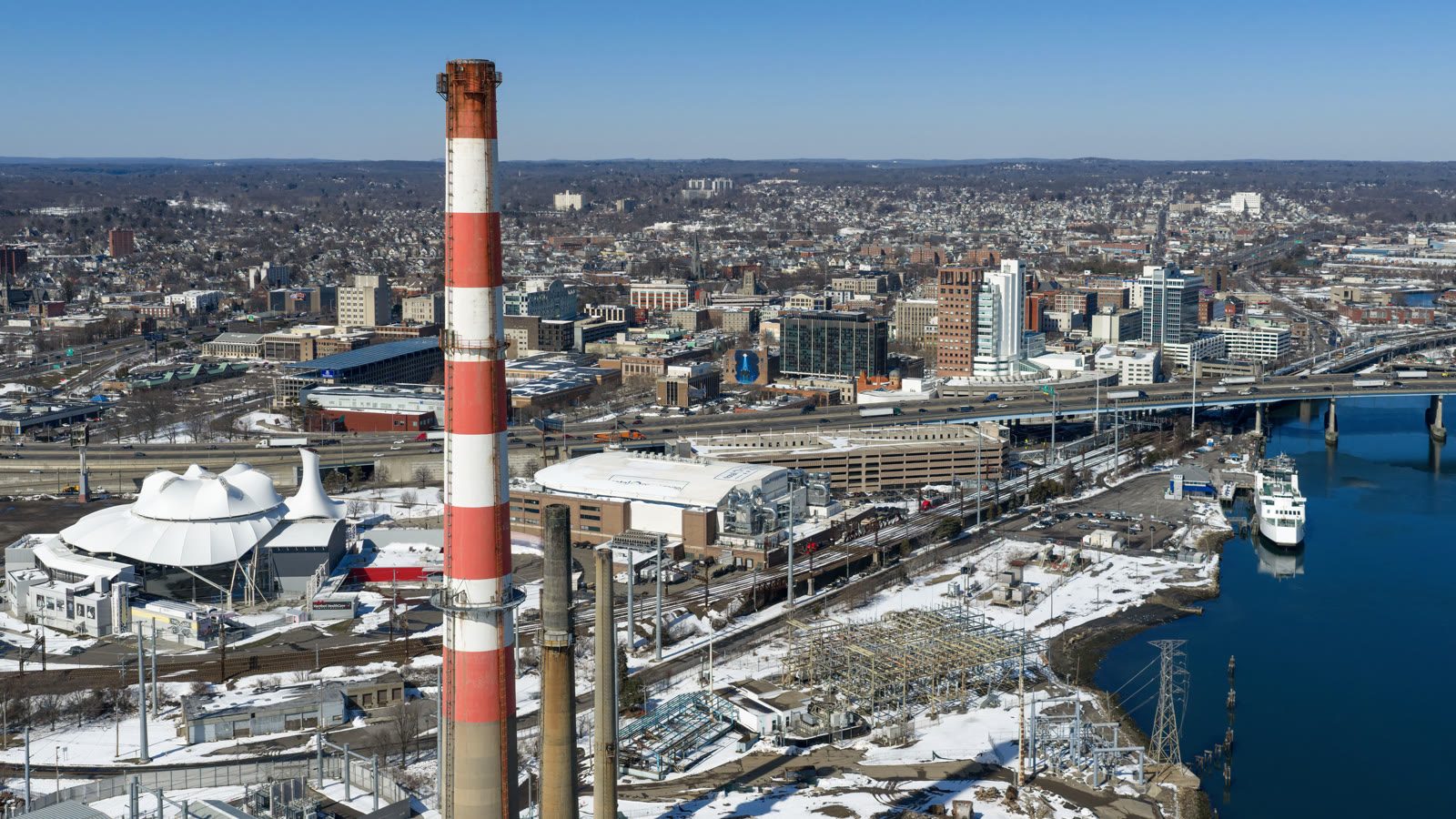
Local lift planning
Coastal wind, Sikorsky Memorial airspace, harbor obstacles, and dense streets leave little room for casual route assumptions.
The Census Bureau’s Vintage 2025 metropolitan estimates put Bridgeport-Stamford-Danbury second among Connecticut metros at 978,179 residents. That scale joins coastal industry, dense neighborhoods, major roads, utility systems, and multiple aviation facilities in one planning area.
Bridgeport/Sikorsky is three miles southeast of the city at nine feet elevation. The current FAA Northeast Chart Supplement lists Jet A, two paved runways, and part-time Class D service. Airport facts provide local context, but an external-load route still needs current charts, NOTAMs, tower status, and site-specific coordination.
Bridgeport’s Licensing and Permits office issues occupancy permits for public right-of-way. Excavation work also brings Engineering approval and utility-location coordination into the process. The exact path depends on whether the ground footprint occupies, closes, or excavates a street. The lift intake checklist helps keep those ground facts beside the load data.
The FAA airport entry reports extensive helicopter operations below 10,000 feet from five to fifteen miles northwest through northeast of BDR. Current traffic and the proposed route need direct review rather than an assumption that coastal airspace is open.
The same FAA entry warns of birds and wildlife, possible standing water beside operational surfaces, and shoreline-specific departure guidance. It also asks aircraft to avoid residential areas northeast and southeast of the airport.
Coastal flooding is a demonstrated access risk. The National Weather Service Bridgeport impact catalog documents inundation extending inland along the Pequonnock River and records that Hurricane Sandy flooded both Sikorsky runways and the terminal area. That extreme event does not establish annual frequency. It does establish the need to check tide, surge, wind, and waterfront access.
Downtown and waterfront roofs can be constrained by occupied streets, coastal wind, and limited crane positions.

Waterfront reuse and industrial rehabilitation can produce short structural placements where marine, rail, and street interfaces complicate staging.

Regional helicopter traffic and coastal exposure make obstacle, route, and wind review central to communication-site planning.

Utility work near the Pequonnock River or dense neighborhoods requires exact conductor control and public separation.

Coastal flooding and storm surge can cut access to exposed infrastructure. Recovery concepts must follow current incident command and airspace controls.
Bridgeport’s official waterfront program covers more than 24 miles of waterfront and sets goals for reusing vacant property and improving resiliency. Waterfront construction can combine industrial parcels, marine access, rail or roadway interfaces, and flood-sensitive staging.
The same waterfront plan calls for active reuse and economic development. Rooftop equipment, structural components, communications assets, and utility work must be screened against coastal exposure, airport traffic, public access, and the available exclusion area.