Bridgeport
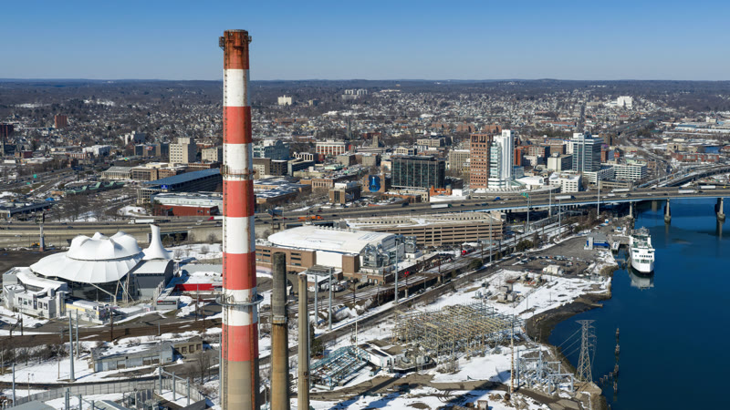
Coastal wind, Sikorsky Memorial airspace, harbor obstacles, and dense streets leave little room for casual route assumptions.
State field guide
Connecticut compresses dense city centers, coastal ports, wooded ridges, river valleys, utility corridors, and busy Northeast airspace into short distances. A workable lift plan depends on the exact route, the public or private ground footprint, current weather, and verified aircraft performance for the site rather than the apparent distance between pickup and set points.
Coastal wind, Sikorsky Memorial airspace, harbor obstacles, and dense streets leave little room for casual route assumptions.

A downtown airport, the Connecticut River, dense institutional blocks, and layered street control put route and ground planning on equal footing.

A harbor, a close-in airport, major medical campuses, and abrupt ridges turn short urban flights into full route-control problems.
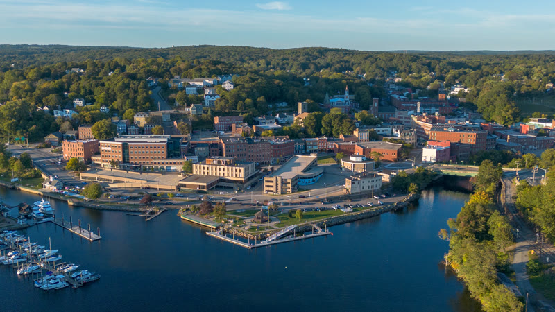
Three rivers, wooded hills, regional aviation traffic, and the coastal storm track make staging and weather windows inseparable.

Steep wooded terrain, legacy industrial parcels, winter weather, and Oxford Airport traffic make access and aircraft margin site-specific.
From the technical library