
HVAC & Rooftop Units
Hospitals, schools, and older commercial roofs can have narrow access routes and limited crane positions.
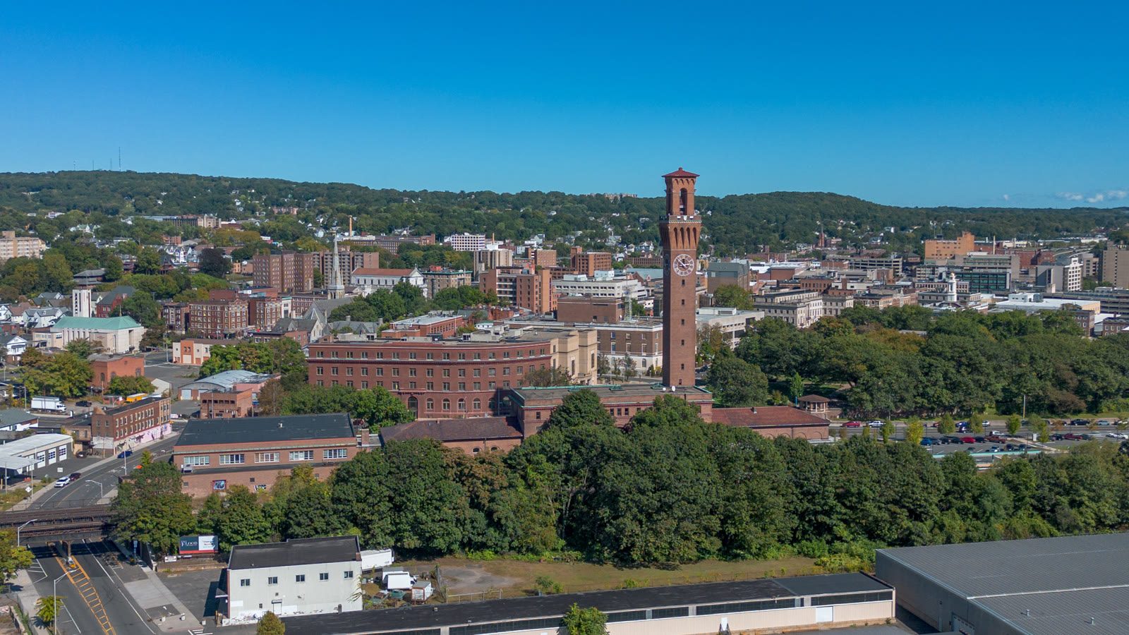
Local lift planning
Steep wooded terrain, legacy industrial parcels, winter weather, and Oxford Airport traffic make access and aircraft margin site-specific.
Photo: Hayden Soloviev, CC BY 4.0, via Wikimedia Commons. Cropped, resized, and compressed under CC BY 4.0.
The Census Bureau’s Vintage 2025 metropolitan estimates rank Waterbury-Shelton fourth among Connecticut metros at 463,349 residents. The metro combines a steep inland city, river valleys, legacy industrial property, suburban utility corridors, and regional airport access.
Waterbury-Oxford sits at 730 feet elevation with a 5,801-by-100-foot runway. The current FAA Northeast Chart Supplement lists Class D service during published tower hours and Class G at other times. The airport name does not establish staging access, and an off-airport project still needs route-specific airspace and obstacle review.
Downtown access is shaped by the I-84 and Route 8 interchange. The Connecticut Department of Transportation is developing safety and traffic changes around Route 8 southbound and West Main Street as part of the larger Mixmaster program. Current closures and surface-street access must be checked against the actual staging route.
The FAA airport entry flags 748-foot electric transmission towers northeast to southwest near Waterbury-Oxford. It also notes power-line and tree effects on visual guidance, steep drop-offs beyond parts of Taxiway A, and wildlife. A separate current obstacle survey is still required for the work route.
Winter access needs a defined restart rule. The National Weather Service report for January 25-26, 2026 recorded 11.5 inches of snow in Waterbury. That event does not describe a typical winter. It does show why snow removal, staging-surface inspection, visibility, and rotor-wash controls must be resolved before operations resume.
Public street work follows a separate municipal process. Waterbury Engineering administers private construction in public rights-of-way, issues street-opening permits, and reviews impacts on city infrastructure. The lift intake checklist provides one record for the load, access route, closure limits, and responsible parties.
Hospitals, schools, and older commercial roofs can have narrow access routes and limited crane positions.

Industrial redevelopment can create structural placements where old parcel geometry and current occupied uses compete for ground space.

Wooded ridges, transmission structures, and Waterbury-Oxford traffic make current obstacle and route review essential.

The metro’s transmission infrastructure and steep terrain require exact conductor control, clearances, and staging-surface checks.
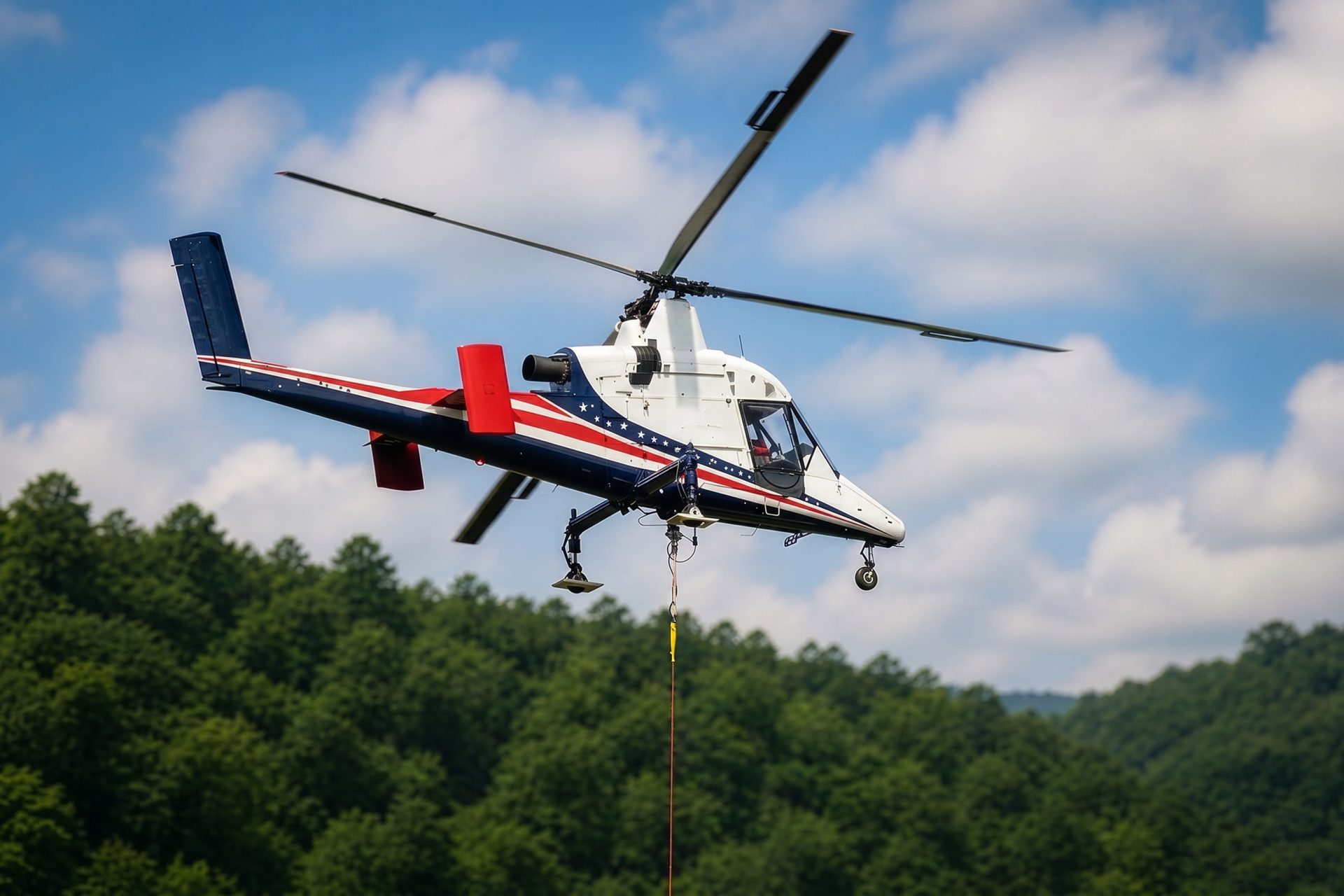
Wooded sites beyond the urban core may have limited road access. Load data, landing-zone permission, and weather still determine whether aerial freight fits.
Waterbury’s adopted 2026-2036 Plan of Conservation and Development identifies the city as a regional center for health care, education, retail, and manufacturing. Those uses produce different rooftop, structural, and access-control problems even when the load weights are similar.
The same adopted plan documents limited vacant commercial and industrial land, continued brownfield remediation, and modern industrial use at Waterbury Industrial Commons. Constrained or redeveloped parcels can make equipment routing and exclusion-zone geometry as important as the flight.