
HVAC & Rooftop Units
Industrial, institutional, and older commercial buildings can present rooftop equipment work where street geometry and overhead utilities control the ground plan.
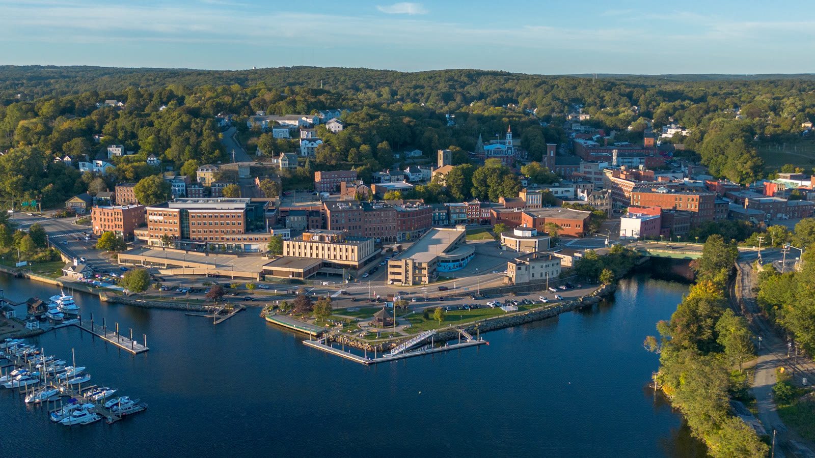
Local lift planning
Three rivers, wooded hills, regional aviation traffic, and the coastal storm track make staging and weather windows inseparable.
Photo: Hayden Soloviev, CC BY 4.0, via Wikimedia Commons. Cropped, resized, and compressed under CC BY 4.0.
The Census Bureau’s Vintage 2025 metropolitan estimates place Norwich-New London-Willimantic fifth among Connecticut metros at 284,015 residents. Norwich anchors the guide because it is the first-named principal city in the Census metro title.
The City’s history of Norwich traces its growth at the head of the Thames River, where waterpower from the Yantic and Shetucket supported mills and a manufacturing center. That legacy leaves river-edge property, industrial buildings, bridges, and tight street geometry in the same operating area.
Local utility ownership changes the coordination map. Norwich Public Utilities provides electric, natural gas, water, and wastewater service. Its electric division maintains substations, poles, and wires. The lift site survey checklist is a practical place to record energized lines, buried service, shutdown responsibility, and the load path.
Groton-New London Airport is the useful regional aviation reference. The current FAA airport diagram shows Runway 5/23 at 5,000 by 150 feet, Runway 15/33 at 4,000 by 96 feet, tower and ATIS facilities, and helipad H1. Those facts describe the regional operating environment. They do not grant airport staging or off-airport landing permission.
Route 82 needs a live access check. The Connecticut Department of Transportation project page identifies full property acquisitions plus partial acquisitions, slope easements, and temporary construction easements between New London Turnpike and Fairmount Street. The schedule is conditional, so a West Main Street project needs current lane-control and construction information before equipment routing is fixed.
Weather belongs in the same-day briefing. The National Weather Service point forecast for Norwich provides current wind, gust, visibility, precipitation, and active-alert information. The lift-planning guide explains why a calendar date cannot substitute for a current launch decision.
Industrial, institutional, and older commercial buildings can present rooftop equipment work where street geometry and overhead utilities control the ground plan.

Mill rehabilitation and river-edge construction can create structural placements that require an honest comparison between aerial and conventional access.

Wooded hills and regional aviation activity make obstacle review, approach geometry, and controlled ground access inseparable at communication sites.

Municipal electric infrastructure and wooded corridors require exact conductor-clearance, shutdown, and load-control planning.

Coastal storms and river flooding can damage access routes and utility systems. Any recovery concept must follow current emergency command and airspace controls.
Norwich’s municipal history identifies a long manufacturing and transportation role plus a modern industrial park. Industrial-building rehabilitation, rooftop equipment, and utility work can each present a different access problem. An aerial method belongs in the comparison only after load data and the full ground footprint are known.
The four-service Norwich Public Utilities network creates work around electric distribution, water facilities, natural gas, and wastewater collection. External-load planning near that infrastructure starts with utility ownership, clearances, shutdown control, and emergency access.