
HVAC & Rooftop Units
State, institutional, and commercial roofs can sit close to occupied streets. Emergency access and public ground control may govern the work window.
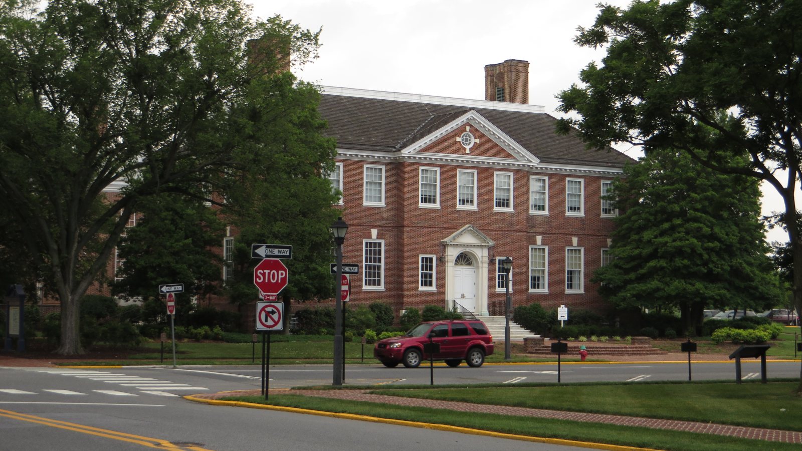
Local lift planning
Military heavy-jet traffic, a busy training airport, and state-capital streets make assumptions about access especially costly.
Dover ranks second among Delaware incorporated places at 40,592 residents in the Census Bureau Vintage 2025 estimate. The capital combines state facilities, neighborhood streets, military aviation, and civilian training activity within a short planning radius.
Dover Air Force Base is three miles east of the city. The FAA Chart Supplement lists 12,903-foot and 9,602-foot runways in Class D airspace, while non-DOD civilian operations require 72-hour prior permission. Published proximity is a constraint to analyze, not a staging option.
Delaware Airpark provides a separate civilian reference west of Dover and Cheswold. The same FAA supplement pages list a 4,201-foot paved runway, AWOS-3 weather, and designated transient parking. The airport also supports substantial training activity, so its operating picture cannot be inferred from runway size alone.
The FAA Dover entries warn of high-speed, low-altitude heavy-jet traffic within ten nautical miles of Dover AFB. Delaware Airpark adds fixed-wing and helicopter training plus wildlife activity. Current airspace, NOTAM, and operator reviews need to cover both environments.
Oversize ground movement must stay on the approved route under the DelDOT permit manual. Work inside Dover public right-of-way also requires a city permit, construction notice, and utility-location coordination. A full street closure needs written city approval.
The National Weather Service Delaware guidance documents flooding, lightning, tornadoes, hail, and damaging thunderstorm winds. Severe storms are most common in spring and summer, though they can occur in any season. A closure plan has to survive a weather cancellation without leaving the public way unsafe.
State, institutional, and commercial roofs can sit close to occupied streets. Emergency access and public ground control may govern the work window.

Building additions and infrastructure repairs may justify an aerial comparison when crane staging would consume a sensitive street or campus route.

Tower work around Dover must account for military heavy-jet traffic, civilian training activity, obstacles, and current airspace restrictions.

Utility corridors outside the city cross flat agricultural ground and developed roads. Delivery routing and conductor control remain part of the same plan.

Storm recovery can put road access and public facilities under pressure while thunderstorms or flooding narrow the aviation window.
An official Dover AFB fact sheet describes the base as home to the largest aerial port in the Department of Defense and identifies C-5M and C-17 global airlift activity. That scale explains the local heavy-aircraft environment. It does not indicate civilian project availability.
Dover also concentrates state offices, institutional buildings, commercial roofs, and road infrastructure around the capital. Those sites may present short placement distances, but the jurisdiction guide shows why property control, street authority, aviation rules, and operator planning remain separate approval tracks.