
HVAC & Rooftop Units
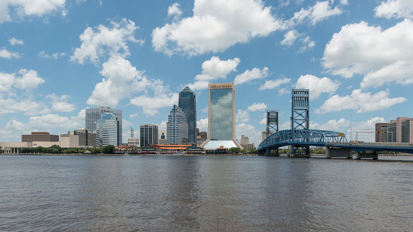
Downtown and industrial roofs can bring street control, river crossings, and active facilities into a short mechanical-equipment pick.
Local lift planning
A controlled airport, deepwater cargo terminals, river crossings, and storm exposure make the landside route as important as the airborne one.
The Jacksonville MSA ranks fourth in Florida at 1,785,500 residents in the Census Bureau’s Vintage 2025 estimate. The city’s large land area, river system, port facilities, highways, rail lines, and airport traffic mean local access conditions can change sharply across one municipal boundary.
The current FAA Jacksonville International airport diagram shows a 10,000-foot Runway 08/26 and a 7,701-foot Runway 14/32 under tower and ground control. The site coordinates and proposed operating height need to be screened against current airport and airspace information before a work window is fixed.
The JAXPORT SSA terminal profile identifies a 47-foot channel, 3,500 linear feet of berthing, near-dock CSX rail, and highway access to I-295 with connections to I-95 and I-10. Waterfront work can touch the marine terminal, rail interface, truck gate, and staging area in one short route. The site survey checklist helps keep those ground interfaces visible.
The National Weather Service’s Jacksonville weather-safety page identifies hurricanes, floods, lightning, severe thunderstorms, wind, and extreme heat as local hazards. The relevant items need monitoring thresholds and named shutdown authority. A general hazard list does not replace a site forecast.
The City’s right-of-way guidance requires a written permit to disturb, excavate, block, or obstruct a City public road, right-of-way, or easement. FDOT rights-of-way follow a separate path, and water, sewer, or stormwater utility construction generally requires a licensed underground utility contractor.
At the port, the SSA terminal profile confirms that berth, rail, and highway systems meet at the same terminal. Ships, container equipment, trains, trucks, bridges, and occupied industrial ground can narrow the usable route. Port access is not established by proximity alone.
Downtown and industrial roofs can bring street control, river crossings, and active facilities into a short mechanical-equipment pick.

Marine terminals and manufacturing sites can create placement work constrained by rail, truck gates, and operating plant boundaries.

The airport environment, bridges, and widespread communications infrastructure make coordinate and obstacle checks site-specific.

Utility corridors cross wetlands, waterways, roads, and growing development across the Jacksonville region.

Hurricanes and severe storms can interrupt road access and utilities while also increasing aviation and public-safety activity.
The City’s targeted-industry overview identifies logistics and distribution as a core cluster supported by highway, rail, airport, and deepwater-port connections. Those systems create equipment-placement work, but also active operating boundaries that must remain protected.
The City of Jacksonville targeted-industries page identifies advanced manufacturing as another target and lists aviation and aerospace as a separate cluster. Plant maintenance, roof work, and equipment replacement still depend on certified load data, shutdown control, and a route that protects workers outside the immediate set area.