
HVAC & Rooftop Units
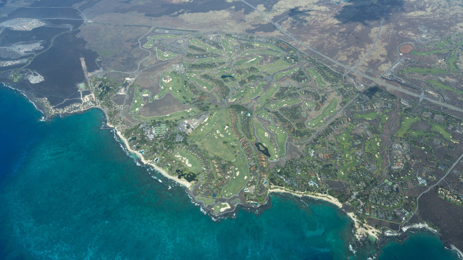
Resort and commercial roofs may face limited laydown or long equipment routes across developed coastal property.
Local lift planning
Leeward dryness, exposed lava terrain, and a freight path separated from Hawaii Island’s commercial harbors define the plan.
Kailua-Kona represents the Kailua urban area in Hawaii County, which had 33,024 residents in the 2020 Census urban-area table. It ranks fifth in the state fallback set. Parcel coordinates still control the plan because the urban-area boundary is only a selection frame.
Ellison Onizuka Kona International sits six nautical miles northwest of town. The current FAA PHKO airport entry lists an 11,000-by-150-foot runway, confines helicopters to paved areas, and requires prior permission for transient parking. Airport access is a coordination question, not an assumed staging answer. The Part 133 guide explains why airport permission does not replace external-load authority.
HDOT lists Hilo and Kawaihae as Hawaii District commercial harbors. A component arriving by sea therefore needs a separate road plan into West Hawaii. Turns, grades, overhead clearance, laydown, and final transfer belong in the intake checklist before mobilization.
The National Weather Service climate summary explains that Hawaii’s mountains can obstruct, deflect, and accelerate airflow. Sheltered wind near town may differ from exposed lava terrain or an elevated release point. Site readings matter.
NWS also describes leeward areas as sunnier and drier, with drought exposure. The Hawaii County hazard plan records historical Kailua-Kona wildfires. Those examples are not current alerts, but they support project-day controls for fueling, rotor wash over dry fuels, and emergency access.
The same county hazard plan identifies Hualalai lava exposure in North Kona. Risk varies by parcel. Route status, air quality, and shutdown decisions should use current county alerts and site-level hazard information, not the age of the last event.
Resort and commercial roofs may face limited laydown or long equipment routes across developed coastal property.

Communication sites above town can combine exposed trade winds, lava terrain, and limited final road access.

Independent-grid infrastructure places outage sequencing, fire controls, and material logistics into one operating plan.

Airport, water, or public-infrastructure placements begin with exact weights, verified property authority, and a controlled route.

Wildfire or volcanic disruption can change air quality and access. Current incident command remains the authority during an emergency.
The Hawaii State Energy Office grid overview explains that the state’s six main island grids operate independently. Hawaii Island utility work therefore depends on local outage sequencing and a material plan that can absorb a delayed shipment or weather day.
Airport equipment, harbor-related cargo transfers, water systems, and communications hardware can create local placement questions. The FAA airport entry and HDOT harbor directory establish the transport context without claiming that any specific project is active. Hilo’s guide covers the island’s east-side harbor route.