
HVAC & Rooftop Units
Downtown and institutional roofs can make street access the first constraint. City right-of-way control and receiving-zone protection need early review.
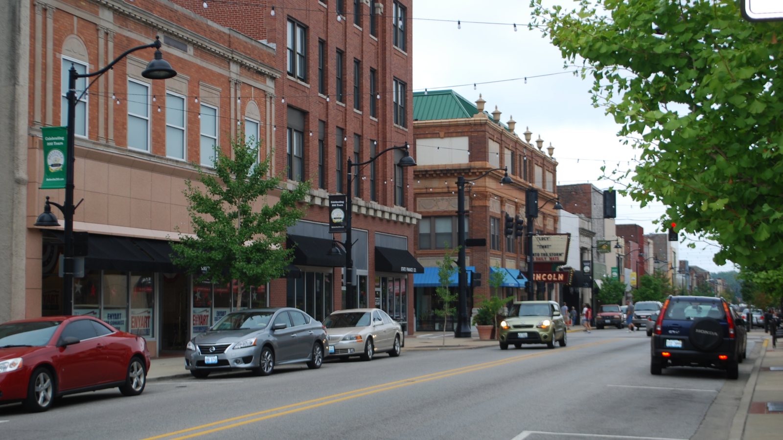
Local lift planning
Joint military-civil airport operations, Metro East freight corridors, and severe weather make current coordination more important than regional assumptions.
Photo: artistmac, CC BY-SA 2.0, via Wikimedia Commons. Cropped, resized, and compressed under CC BY-SA 2.0.
The St. Louis, MO-IL metropolitan area had 2,814,421 residents in the Census Bureau Vintage 2025 estimates. Belleville is the Illinois-side planning anchor. The full population is not a Belleville or Illinois count.
The current FAA East Central Chart Supplement identifies Scott AFB/MidAmerica St. Louis as a joint military-civil field with 10,000-foot and 8,006-foot runways, continuous attendance, and published Class D service. Airport scale does not grant ramp access or an external-load route.
Belleville Public Works Streets manages city traffic signs, barriers, right-of-way vegetation, snow and ice work, drainage, and erosion or flood-control materials. A site plan affecting a city street has a ground-authority track separate from the aviation plan.
The FAA supplement identifies military ramp restrictions, bird and deer activity, waterfowl, dense civil traffic, and small UAS activity in Class D airspace. Current airport coordination, charts, and NOTAMs control. A nearby runway proves no project access.
The NWS St. Louis regional climate summary documents spring severe thunderstorms with hail, damaging wind, and tornado potential. Summer adds heat, localized heavy rain, and flash-flood risk. Work windows need a weather decision point plus a safe shutdown plan.
IDOT Region 5 includes major rivers, interstate freight routes, the Metro East rail corridor, and regional airports. City streets, state routes, airport property, and private parcels can sit close together. The permit jurisdiction guide explains why the exact staging footprint determines who reviews it.
Downtown and institutional roofs can make street access the first constraint. City right-of-way control and receiving-zone protection need early review.

Cargo and industrial sites may involve large components, but airport or terminal access never follows from proximity alone.

Metro East communication and utility structures require exact airspace, obstacle, property, and ground-control checks.

River, rail, and interstate crossings put several authorities into one corridor. Each crossing and pull site needs documented control.

Joint-use airspace, Part 133 authority, aircraft fit, insurance, site control, and current conditions remain independent checks.
MidAmerica describes cargo facilities with cargo handling, ground equipment, onsite customs capability, and parking for four 747-8F aircraft. That infrastructure supports a large-component planning context, but facility access remains a separate approval.
The IDOT Region 5 network links river, rail, highway, and airport freight corridors across southern Illinois and Metro East. Industrial steel, utility work, and terminal equipment moves begin with verified load data and control of the pickup and receiving zones.