
HVAC & Rooftop Units
Large industrial and data-center roofs require verified equipment weights, utility interfaces, and controlled receiving zones.
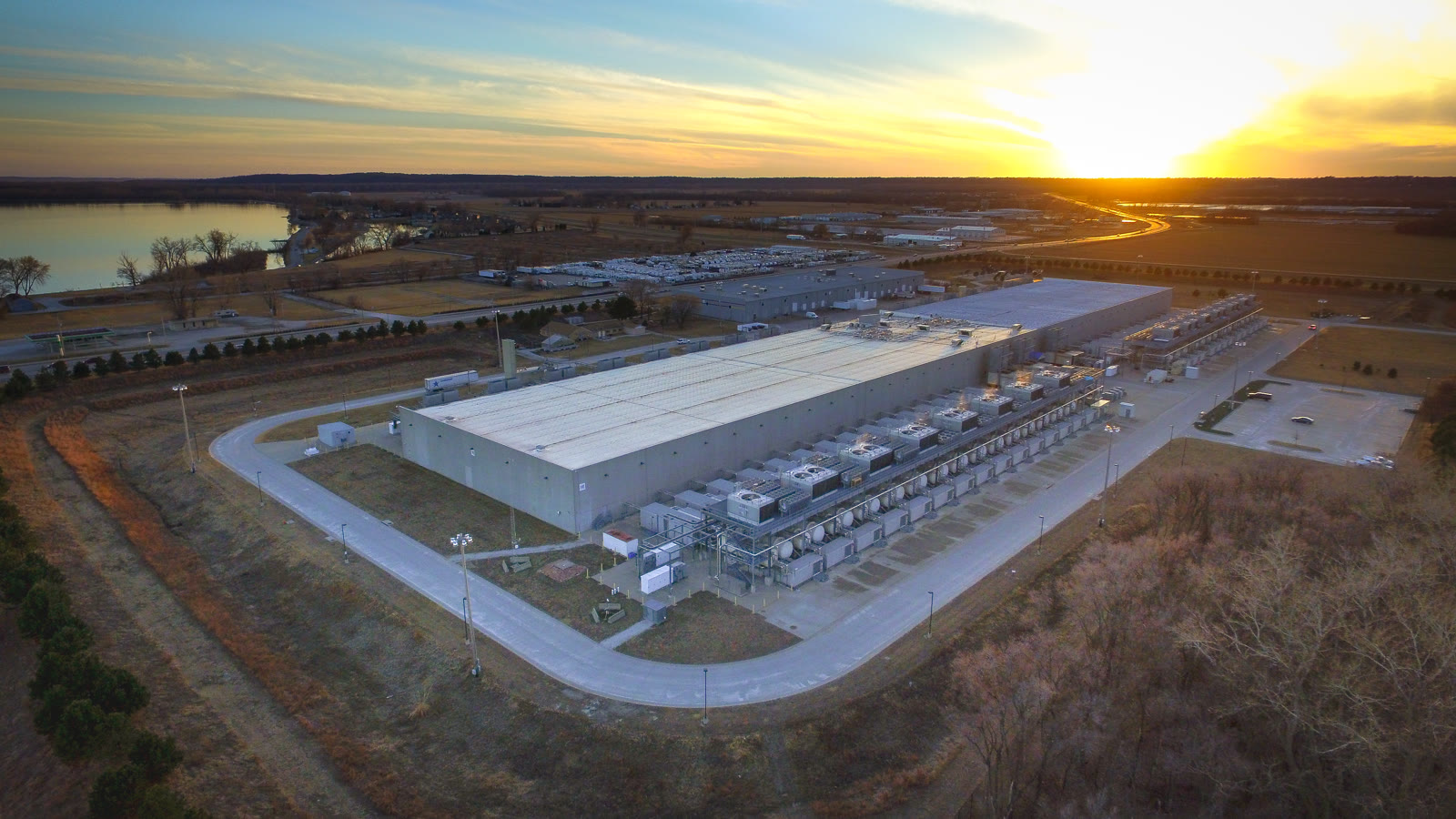
Local lift planning
Omaha terminal traffic, intersecting airport runways, and a rail-heavy interstate corridor demand a route plan on both sides of the operation.
Photo: Chad Davis, CC BY 2.0, via Wikimedia Commons. Cropped, resized, and compressed under CC BY 2.0.
Council Bluffs represents the Iowa side of Omaha, estimated at 1,009,836 residents in the Census Bureau Vintage 2025 estimates. The whole NE-IA metro number establishes guide order. It is not Council Bluffs population or evidence of project demand.
The current FAA North Central Chart Supplement places Council Bluffs Municipal four miles east of the city. Its two concrete runways intersect, and Omaha Approach handles regional arrival and departure coordination.
The completed Council Bluffs Interstate System program rebuilt 14 interstate miles with new bridges, drainage, lighting, and interchanges while relocating rail lines and waterways. Strong access does not remove bridge, rail, or last-mile constraints.
The FAA identifies two runway-visibility hot spots at Council Bluffs Municipal because one runway is not visible from the other. Current CTAF use, charts, NOTAMs, Omaha terminal traffic, and the exact load path control.
An NWS Omaha flash-flood record documents three to five inches of rain in about an hour and a flash-flood emergency that included Council Bluffs. Low-lying access, drainage, laydown areas, and an escape plan need current verification. The historical event is not a forecast.
Council Bluffs Public Works separates right-of-way work, equipment placement, excavation, and single-trip oversize truck applications. Private-property permission does not settle city access. The helicopter lift permitting guide explains the jurisdiction split.
Large industrial and data-center roofs require verified equipment weights, utility interfaces, and controlled receiving zones.

Interstate and industrial work can present components where bridge limits or rail conflicts make access the central comparison.

Omaha terminal traffic, airport operations, and the obstacle environment require current route review.

Railroads, waterways, interchanges, and neighborhood buffers can narrow usable utility-corridor access.

A city right-of-way permit, airport coordination, property control, and Part 133 authority remain separate checks.
The city’s Bluffs Tomorrow plan identifies manufacturing and distribution growth around Interstate 80 and U.S. 6, with designated truck routes and buffers near neighborhoods. Industrial access needs exact site reconnaissance rather than a highway-distance assumption.
Iowa DOT documents railroad and waterway interfaces throughout the interstate corridor. A flight concept over or beside these systems requires property control, overhead-obstacle review, and protected ground operations.