
Steel & Infrastructure
Manufacturing and riverfront sites can present large components, but rail movement and plant operating boundaries may control the receiving zone.
Local lift planning
Active military helicopter training, Mississippi River exposure, and a multimodal industrial base put both air and ground coordination under pressure.
Davenport represents the Iowa side of Davenport-Moline-Rock Island, estimated at 380,452 residents in the Census Bureau Vintage 2025 estimates. The number covers the whole bi-state metro and establishes guide order, not city population or project demand.
The current FAA North Central Chart Supplement places Davenport Municipal five miles north of the city. It warns of extensive heavy military helicopter training, including Chinooks, possible extreme rotor turbulence, and helicopter operations parallel to the runways from grass areas.
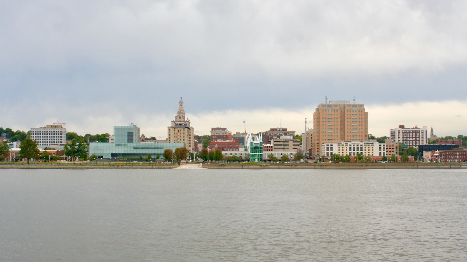
Davenport is a Mississippi River and Interstate 80 freight center. Riverfront plants, rail movements, bridges, and public streets can compete for staging space even when the flight segment is short.
The FAA entry lists time-dependent airspace and airport procedures at Davenport Municipal. Nearby helicopter activity does not grant access. Current charts, NOTAMs, radio procedures, airport coordination, and the exact load path control.
The NWS Quad Cities event archive documents damaging wind, tornadoes, hail, heavy rain, flash flooding, and Mississippi River floods across eastern Iowa. These records support hazard screening, not a forecast for a future work window.
Davenport requires advance route and date notice for oversize or overweight movement on city streets. Delivery of a load, fuel, mats, or support equipment can therefore carry a separate street-coordination track. The article on helicopter lift permitting explains why ground and aviation approvals must be kept distinct.
Manufacturing and riverfront sites can present large components, but rail movement and plant operating boundaries may control the receiving zone.

Downtown and industrial roofs can shift the constraint to street occupancy, pedestrian control, and emergency access.

Airport helicopter activity, existing obstacles, and the intended route need current joint review.

River crossings and developed corridors add bridge, railroad, utility-owner, and public-space interfaces.

A controlled fly yard, verified load data, property permission, and Part 133 authority remain separate checks.
The city describes a regional manufacturing base that includes food production, plastics, equipment manufacturing, and agricultural machinery. These are examples of the local operating environment, not evidence that a named facility needs aerial work.
The Eastern Iowa Industrial Center includes a multimodal transload facility with railcar capacity, warehousing, and truck-to-rail cross-docks. Aerial planning near active freight sites still needs a controlled fly yard and a workable delivery route.