
HVAC & Rooftop Units
Life-science, institutional, and commercial roofs can put verified unit weight, pedestrian control, and drainage conditions ahead of straight-line reach.
Local lift planning
Scheduled tower service, a flood-prone creek system, and fast-growing industrial corridors put route control on both sides of the hook.
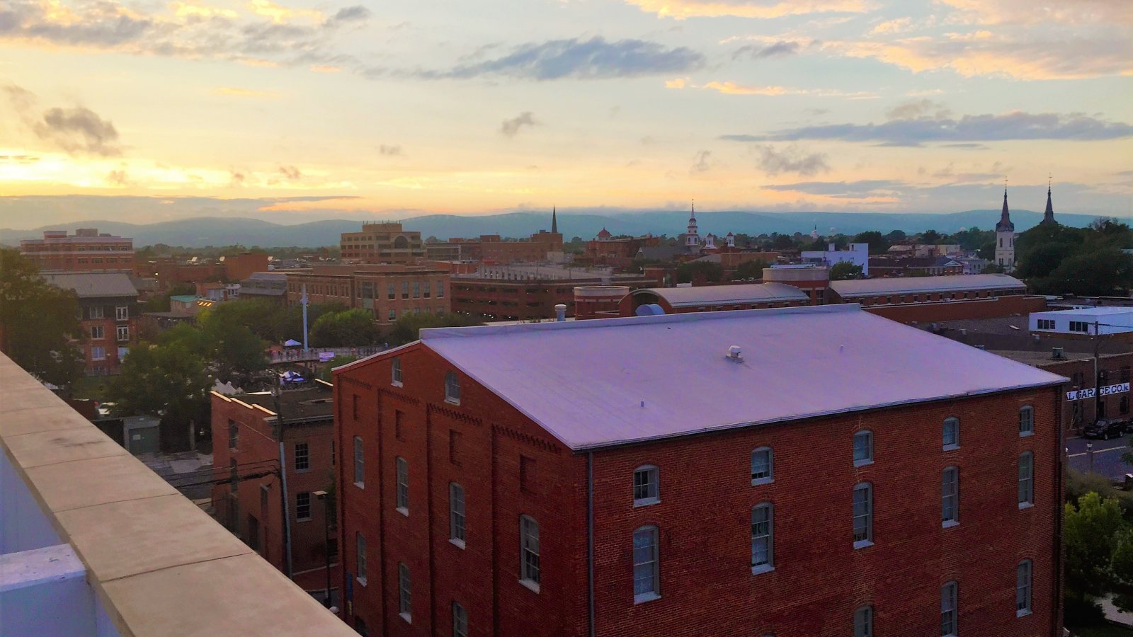
Photo: Rollbama4, CC BY-SA 4.0, via Wikimedia Commons. Cropped, resized, and compressed under CC BY-SA 4.0.
Census Vintage 2025 places Frederick County in the Frederick-Gaithersburg-Bethesda division of the Washington-Arlington-Alexandria metropolitan area, estimated at 6,465,724 residents. Frederick is the largest incorporated Maryland city in that division. These figures set guide order and do not measure project demand.
The current FAA Chart Supplement lists Frederick Municipal Airport at 309 feet elevation with Runway 05/23 measuring 5,819 by 100 feet and Runway 12/30 measuring 3,599 by 75 feet. The field has scheduled Class D service and becomes Class E when the tower closes. Current NOTAMs, permission, traffic, and route review still control.
Frederick County’s Strategic Growth Plan identifies life sciences, advanced manufacturing, technology services, construction, and skilled trades as priority sectors. Those sectors establish an industrial planning context. They do not establish access or a need at any specific facility.
FAA remarks identify trees on the Runway 23 approach and a depression beside that runway at FDK. Airport proximity cannot substitute for a current load-path review. The selected operator must check aircraft fit, airport status, airspace, obstacles, and the intended external-load route.
The National Weather Service account of the May 2018 floods records 4 to 6 inches of rain over southern Frederick County, with widespread city flooding, washed-out roads, and water rescues. Current rainfall, drainage, wind, visibility, and receiving-zone firmness belong in every work-window check.
Maryland requires overdimensional hauling permits and engineering review at published thresholds. Route and travel restrictions may apply. A state permit does not settle municipal street access or private-property control. The permit-jurisdiction guide keeps those authorities separate.
Life-science, institutional, and commercial roofs can put verified unit weight, pedestrian control, and drainage conditions ahead of straight-line reach.

Manufacturing work needs exact component data and a final-mile plan that accounts for Maryland hauling restrictions.

FDK airspace, property permission, ground control, and Part 133 planning remain separate gates.

Scheduled Class D service, airport traffic, approach obstacles, and current NOTAMs require a fresh route review.

State highways, municipal streets, utility property, and private parcels can place several authorities along one corridor.
The county growth plan identifies life sciences and professional or technology services as priority sectors. Controlled-environment buildings can put verified rooftop equipment weight, facility access, and utility shutdown planning ahead of straight-line reach.
Advanced manufacturing and skilled-trade work depend on component geometry, rigging data, receiving-zone control, and a workable final-mile route. The load verification sheet provides a neutral record for comparing an aerial method with conventional access.