
External Load Operations
Duluth airport traffic, port-property permission, current NOTAMs, and city road controls remain separate planning gates.
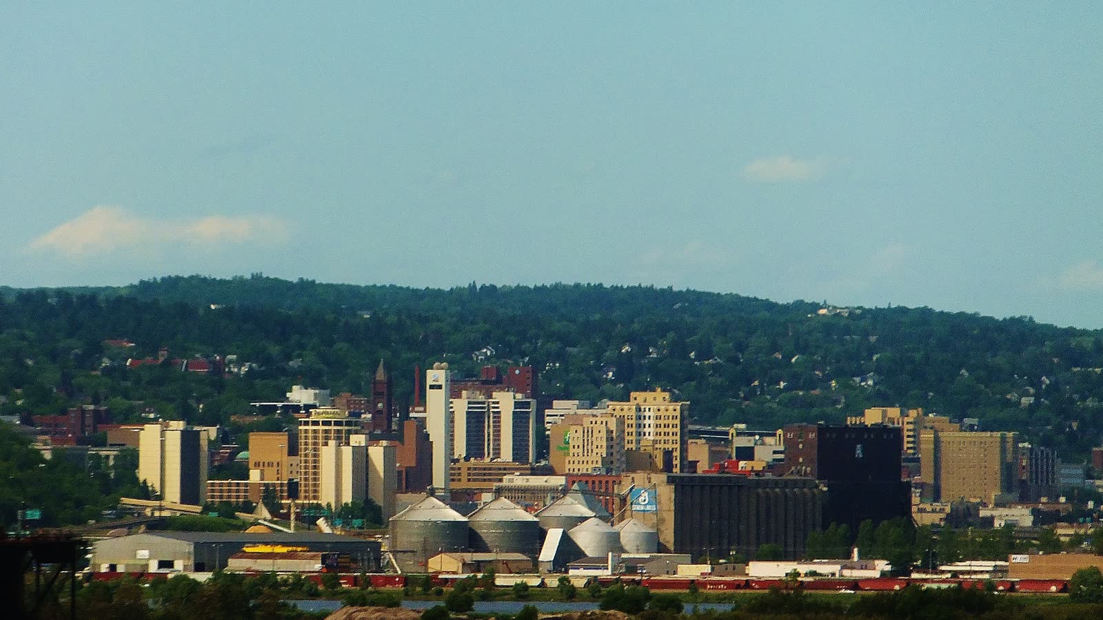
Local lift planning
Heavy snowfall complicates access. A military and civilian airport plus a working port make current route and surface checks essential.
Photo: Sletbte, CC BY-SA 3.0, via Wikimedia Commons. Cropped, resized, and compressed under CC BY-SA 3.0.
Census Vintage 2025 estimates the Duluth metropolitan area at 281,219 residents. It ranks third among metropolitan areas containing Minnesota territory. The count covers the Minnesota-Wisconsin metro and is not Duluth city population or evidence of lift demand.
The current FAA Chart Supplement places Duluth International Airport five miles northwest of Duluth at 1,428 feet elevation. It lists a 10,591-by-150-foot primary runway, a second paved runway, continuous attendance, and continuous Class D service. Airport capability does not establish project acceptance, ramp access, helicopter parking, or staging permission.
Duluth’s engineering permit system covers street and sidewalk obstruction as well as oversize or overweight movement on city roads. Applications to close a road must be submitted at least five business days before the proposed closure. Aviation review and private-site permission remain separate.
The FAA warns of high-speed military jet traffic operating without ADS-B in and above Class D airspace from 3,000 to 11,500 feet MSL. It recommends contacting Duluth Approach for traffic advisories and notes windshear or downdrafts on final approach to Runway 27.
Duluth’s 1991-2020 climate normals include 90.2 inches of annual snowfall and 176.6 nights at or below freezing. Winter planning needs schedule room for snow clearing and access changes. Historical normals cannot approve a live flight window.
Duluth states that its city transportation permit is not valid on township, county, or state roads. The city advises allowing up to one week for Aerial Lift Bridge review. The permit-jurisdiction guide keeps those surface approvals distinct from aviation authority.
Duluth airport traffic, port-property permission, current NOTAMs, and city road controls remain separate planning gates.

Project cargo and industrial components still require certified weight, geometry, attachment points, and a verified receiving zone.

Military traffic, airport airspace, waterfront terrain, and winter exposure require a fresh route and weather review for each site.

Commercial and institutional roofs can make street occupation or winter access the controlling issue. Roof capacity and the set point remain parcel-specific.

Forest, port, and city corridors cross different road and property authorities. The controlling jurisdiction must be identified before scheduling ground access.
The Duluth Seaway Port Authority reports that the Clure Public Marine Terminal handles general cargo, breakbulk cargo, and heavy-lift or project cargo. Heavy lift in that source describes marine and surface cargo handling, not helicopter service. It establishes context for components whose weight, dimensions, ownership, and route must be verified.
The Port Authority identifies iron ore and taconite pellets plus wind-energy components among cargo moving through the harbor. Port activity does not make a helicopter the correct method for any load. The load verification sheet and a ground-crane comparison belong ahead of aircraft selection.