
External Load Operations
Shoreline aircraft activity, airport traffic, port security, and property authority remain separate planning gates.
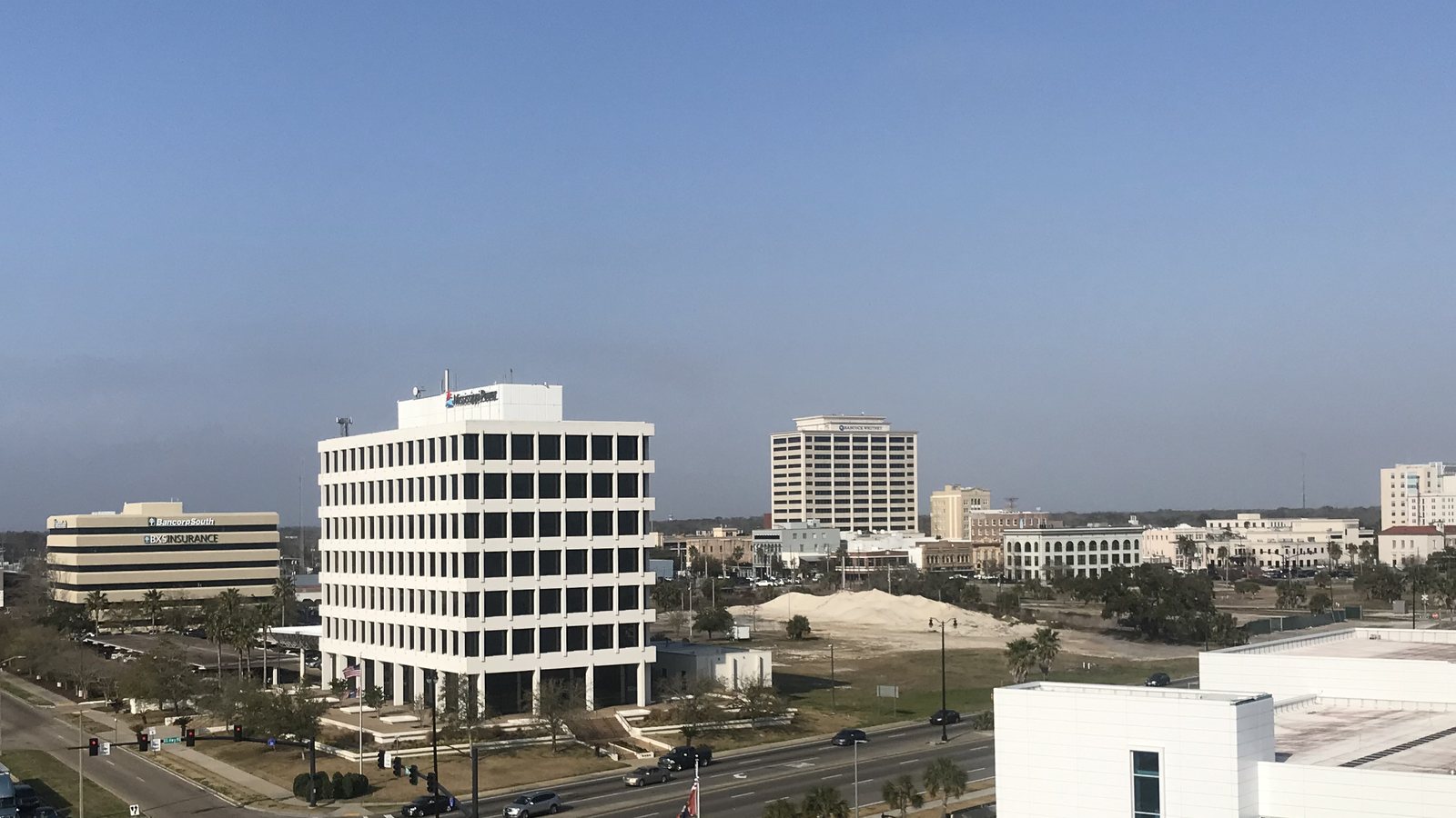
Local lift planning
Shoreline traffic, storm-surge exposure, and a secure working port compress the usable ground and flight plan.
Photo: WeaponizingArchitecture, CC BY-SA 4.0, via Wikimedia Commons. Cropped, resized, and compressed.
The 2020 Census lists the Gulfport-Biloxi urban area at 236,344 residents, third among urban areas containing Mississippi territory. Gulfport is a named principal city and the direct anchor for this guide. The count does not establish city population, project demand, or site authority.
The current FAA Chart Supplement places Gulfport-Biloxi International three miles northeast of Gulfport. Runway 14-32 is 9,002 by 150 feet and Runway 18-36 is 4,935 by 150 feet. The tower-controlled schedule, current traffic, parking, fuel, and acceptance of a specific project still need direct confirmation.
The Port of Gulfport facilities profile places Interstate 10 about five miles north and identifies Class I rail service. The deep-water port and inland facility provide separate cargo and laydown environments. Truck arrival, secure access, and the controlled work area should be mapped before either is treated as a staging option.
The FAA entry warns of numerous low-flying fish-spotter aircraft near the shoreline and publishes seasonal bird-activity periods. Those local factors can change the usable route even when weather is favorable. Current aeronautical information and exact coordinates remain necessary.
The National Weather Service storm-surge scale says three to five feet of inundation can make low coastal, bay, and bayou roads impassable. The scale is planning context, not a forecast. A lift plan still needs current weather, site elevation, drainage, wind limits, and an equipment-relocation route.
Gulfport’s right-of-way request page publishes the city trench policy and permit process for work in public rights-of-way. Street occupation and excavation are different ground impacts, but both must be identified before the permit path is assigned. City approval does not replace aviation or port authority.
Shoreline aircraft activity, airport traffic, port security, and property authority remain separate planning gates.

Port and industrial components require certified weight, attachment points, receiving geometry, and control of adjacent operations.

Coastal institutional and commercial roofs can combine wind exposure with limited street or secure-facility access.

Coastal utility work can cross flood-prone ground and several road authorities. Each crossing needs a named controller.

Low-flying shoreline traffic and bird activity add route constraints to the usual obstacle and ground-control review.
The Port of Gulfport reports a 300-acre deep-water facility with more than 5,000 feet of berthing space, three ship-to-shore gantry cranes, open storage, and a roll-on-roll-off ramp. Cargo infrastructure can present steel or equipment placement comparisons, but live terminal operations and secure access control the ground plan.
Port project records identify the Wicker Center for Ocean Enterprise and a bulk-handling facility with 15 storage silos. Maritime technology and bulk processing create different load paths. The ground-versus-air comparison still needs certified weight, receiving geometry, shutdown limits, and public exposure.