
HVAC & Rooftop Units
Data-center and commercial mechanical placements require verified unit weight, roof capacity, protected receiving space, and a plan for public exposure.
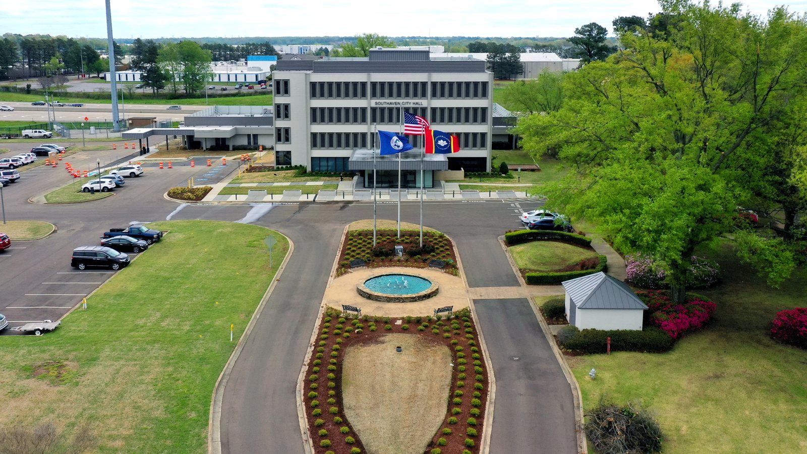
Local lift planning
Memphis Class B airspace and a dense interstate corridor put route control and ground authority on the same critical path.
Photo: Lrgjr72, CC BY-SA 4.0, via Wikimedia Commons. Cropped, resized, and compressed.
The 2020 Census urban-area list places Memphis, TN-MS-AR first among urban areas containing Mississippi territory at 1,056,190 residents. Vintage 2025 place estimates put Southaven at 57,819 residents, ahead of the other incorporated cities in the metro’s Mississippi counties. The counts set guide order and anchor selection. They do not measure project demand or site access.
The current FAA Chart Supplement lists Frederick W. Smith International/Memphis with four paved runways and continuous attendance. The next page identifies Class B airspace. It is a regional planning reference, not proof of helicopter parking, fuel arrangements, staging permission, or acceptance of an external-load operation.
Southaven Public Works handles city roadways and conditions involving streets, rights-of-way, traffic signals, and storm sewers. Ground planning should identify whether the controlled area, truck route, or staging site touches public right-of-way. The lift planning intake checklist keeps that question separate from aircraft planning.
The FAA entry identifies four runway systems, birds near the airport, and airport construction. The next page identifies Class B airspace. A line drawn between Southaven and an airport cannot settle the traffic picture. Current charts, NOTAMs, exact coordinates, and air traffic coordination remain work-window inputs.
NWS Memphis historical climatology places the main severe-weather period from April through June, with reports concentrated in late afternoon and early evening. A smaller secondary maximum appears in November. Historical patterns support delay planning but do not replace the current forecast or aircraft limits.
Public Works responsibility does not confer control over private property or aviation activity. Road occupation, pedestrian separation, emergency access, and the route below an external load need separate authority. The congested-area planning guide explains why the ground footprint and flight path must be evaluated together.
Data-center and commercial mechanical placements require verified unit weight, roof capacity, protected receiving space, and a plan for public exposure.

Memphis Class B airspace, airport traffic, current NOTAMs, and ground permissions remain separate planning gates.

Building retrofits can present short structural placements where street occupation or interior access is constrained.

Power infrastructure near a dense interstate corridor requires utility-owner coordination, clearances, traffic control, and precise staging.

Tower sites near major-airport traffic need current obstacle review, exact coordinates, and a controlled area below the work.
In January 2026, the Mississippi Development Authority announced that xAI had purchased a Southaven building for a data-center retrofit near an acquired power-plant site. Large cooling and electrical systems are a credible planning context for verified equipment placement, but the announcement provides no load weights, roof data, or construction schedule suitable for an operating decision.
Southaven’s municipal workload includes streets, traffic controls, drainage, and storm-sewer infrastructure. Those systems can create short placement or access problems where road occupation is difficult. Public Works jurisdiction, underground utility location, load control, and the permit-jurisdiction guide remain separate gates.