
HVAC & Rooftop Units
Laboratories and technology facilities can present precise rooftop mechanical placements. Unit weight, roof capacity, and public exposure still need site verification.
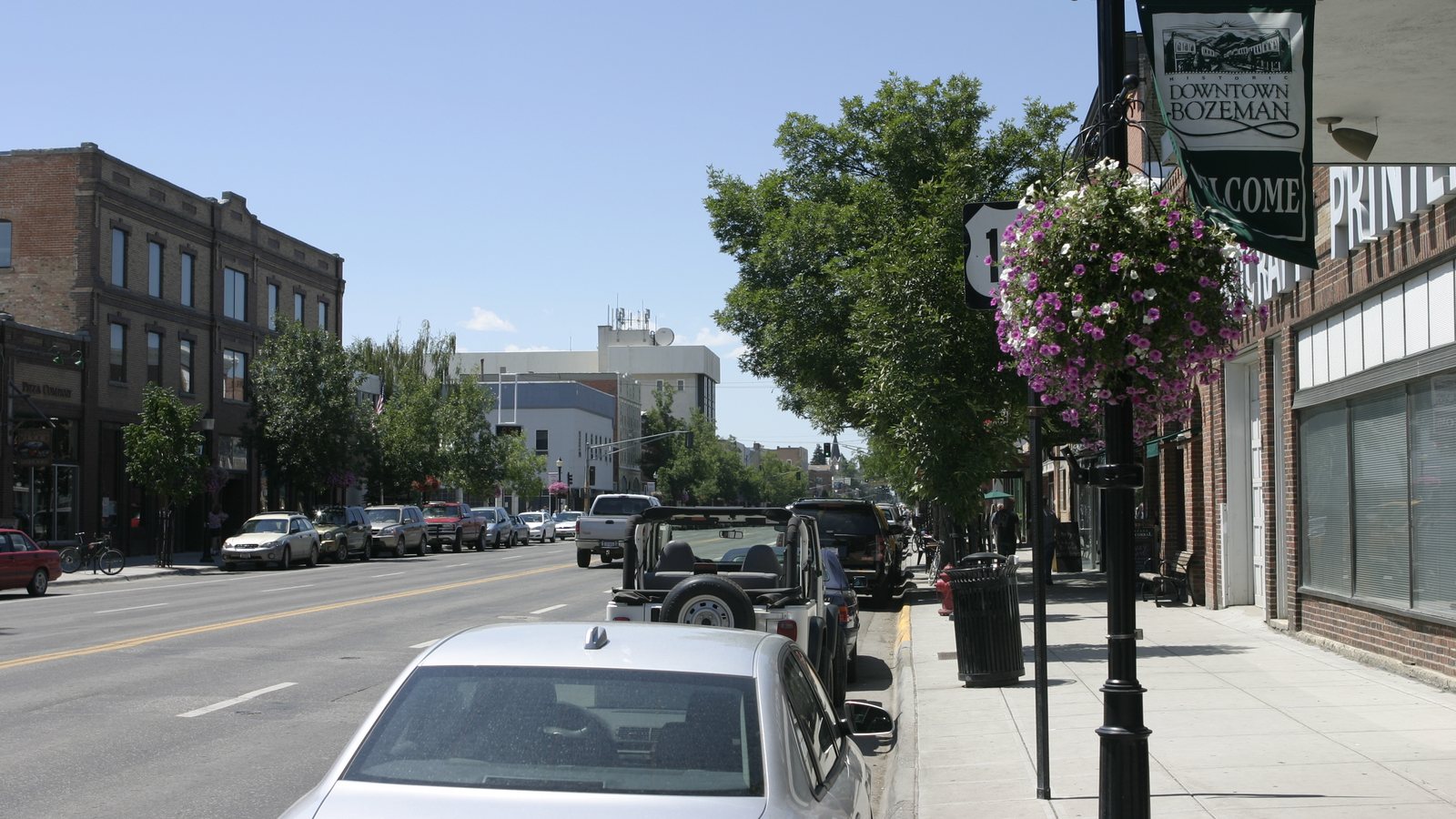
Local lift planning
A 4,473-foot airport elevation, winter corrections, and active street users make performance and ground control equally important.
Photo: tyler craft, CC BY 2.0, via Wikimedia Commons. Cropped, resized, and compressed under CC BY 2.0.
Census Vintage 2025 estimates the Bozeman metropolitan area at 128,740 residents. It ranks second among Montana’s five metropolitan areas, only 42 residents ahead of Missoula in this estimate series. The count covers the whole metro.
The FAA places Bozeman Yellowstone International Airport seven nautical miles northwest of Bozeman at 4,473 feet elevation. Runway 12-30 is 8,994 by 150 feet, and the airport also has paved secondary runways plus a turf runway. Published facilities establish context, not external-load staging permission.
Bozeman requires a public right-of-way utility occupancy permit for public utility work in the right-of-way. Street cuts need another permit, while lane closures require a detailed traffic-control plan. The permit-jurisdiction guide explains why surface control and aviation authority remain separate.
The FAA marks Bozeman Yellowstone as a cold-temperature airport requiring altitude correction at or below minus 21 degrees Celsius. It also notes birds near the airport and student training within 15 miles. Aircraft performance and traffic workload are current-day inputs, not conclusions from a regional guide.
A National Weather Service station report recorded a 66 mph peak gust at Bozeman Gallatin Field on July 1, 2025, with thunderstorm weather that day. This dated example supports wind and thunderstorm hold points but is not a climate-frequency claim.
The City’s transportation GIS inventories traffic signals, sidewalks, bike lanes, shared-use paths, and street classifications. Ground crews need those interfaces on the site map before a street edge is treated as an open set-down area.
Laboratories and technology facilities can present precise rooftop mechanical placements. Unit weight, roof capacity, and public exposure still need site verification.

Airport elevation, cold-temperature procedures, current NOTAMs, and control below the route remain separate planning inputs.

Growth-area construction can create short structural-pick problems where conventional access deserves a direct comparison.

Airport traffic, nearby training activity, terrain, and wind require current coordinates plus a protected ground area.

Right-of-way utility projects can require occupancy review, a street-cut permit, and a traffic-control plan before staging is fixed.
Montana State University describes optics and photonics as a major part of southwest Montana’s economy and lists more than 30 related companies in Bozeman and across the state. Specialized manufacturing and laboratory buildings are credible contexts for equipment-placement analysis, not evidence for a specific project.
The MSU inventory connects many companies to university graduates or technology transfer. Work at research and manufacturing facilities may place a premium on short shutdown windows and careful ground control. Actual feasibility still follows the load, roof, neighbors, access, and the site survey record.