
HVAC & Rooftop Units
Industrial, technology, and institutional buildings require certified unit weight, rooftop geometry, and a protected receiving zone.
Local lift planning
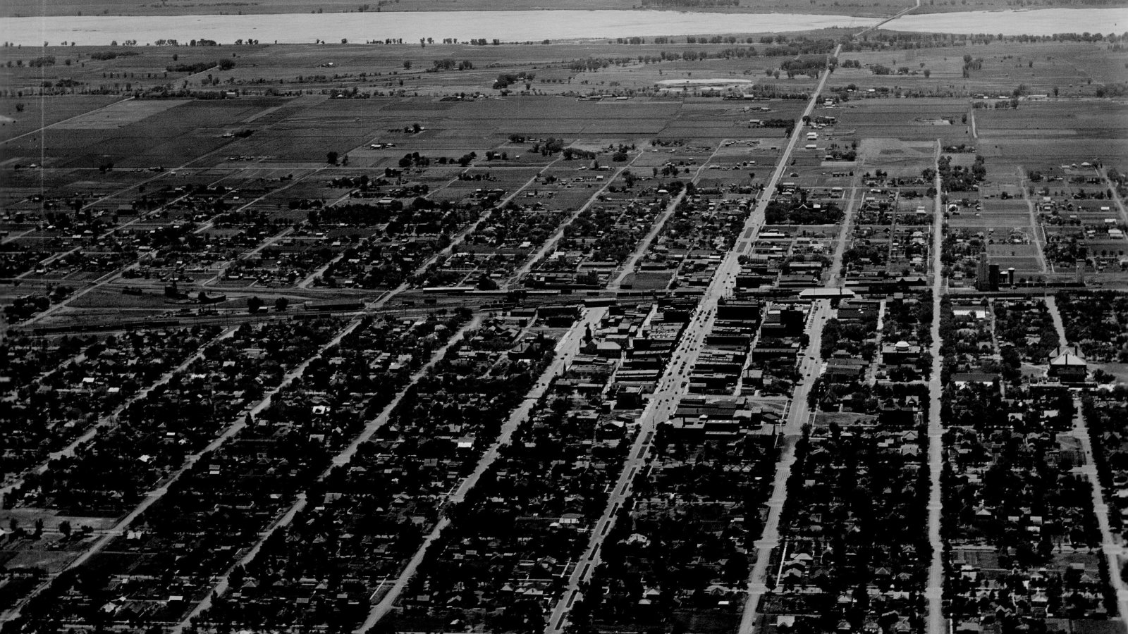
Floodplain ground, heavy-truck corridors, and airport geometry make access control a first-pass engineering question.
The 2020 Census counted 34,526 residents in the Kearney urban area. That whole-area count places Kearney fifth in Nebraska’s fallback after the cross-state Sioux City urban area. It does not measure project demand or site access.
The current FAA airport diagram shows Kearney Regional Airport at 2,132 feet elevation with a 7,094-by-100-foot primary runway, a 4,498-by-75-foot secondary runway, weather observation, and a marked hot spot. Airport access, NOTAMs, coordinates, and aircraft fit remain separate checks.
Kearney’s comprehensive plan preserves an inner beltway and connects heavy-truck travel among I-80, US 30, and east-side industrial development. The site survey checklist helps separate the flight path from truck access, public traffic, and the receiving area.
The city plan places southern Kearney in the Platte River basin and floodplain context. Parcel-level planning should verify drainage, soil bearing, flood exposure, and recent surface conditions before staging or set-down ground is identified.
NWS Hastings recorded a 2024 temperature range from 103 to minus 14 degrees at Kearney Regional Airport, with 25.50 inches of precipitation and a 5.4-inch maximum 24-hour snowfall. These are dated observations, not a forecast or frequency estimate.
Kearney requires a right-of-way permit for construction or digging in public right-of-way. That jurisdiction screen does not replace aviation review, property permission, traffic control, or utility coordination. The permit jurisdiction guide explains why those approvals remain separate.
Industrial, technology, and institutional buildings require certified unit weight, rooftop geometry, and a protected receiving zone.

Field elevation, runway geometry, load class, rigging, weather, and off-airport access require one coordinated review.

Heavy-truck industrial corridors can create receiving and access constraints where placement methods deserve direct comparison.

Utility and solar settings require owner control, energized clearances, and ground access that remains open for system crews.

Airport-area geometry, open-terrain wind, and public-way limits shape tower route and exclusion-area planning.
The city comprehensive plan says local industrial and manufacturing facilities depend on heavy commercial trucks, with direct industrial access toward US 30 and I-80. That makes truck circulation a real input for structural components, plant equipment, or rooftop units without proving that an aerial method is preferable.
Nebraska DED documented technology, solar, and institutional investment in Kearney. Those records support local equipment-handling and utility contexts. The load verification sheet keeps certified weight, rigging allowance, and attachment details ahead of method selection. The Grand Island guide covers another central Nebraska freight and utility setting.