
HVAC & Rooftop Units
At a future plant or commercial roof, establish unit weight, roof capacity, crane access, and the protected set point before comparing an aerial method.
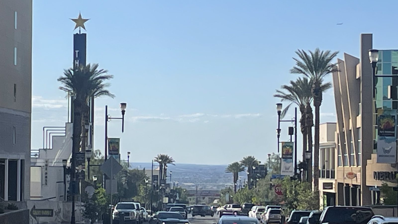
Local lift planning
Henderson has its own industrial and water-system sites. A nearby helicopter airport does not settle the lift route or the ground access.
Photo: Colinonomoore / Wikimedia Commons / CC0 1.0. Cropped and resized. License terms.
The Census Bureau’s July 2025 city-proper estimate puts Henderson at 353,289 residents. The existing Las Vegas guide covers another municipality in the same urban area. A shared urban-area count is not a Henderson street or property authority.
Henderson’s target-industry dashboard identifies electrical-equipment and component manufacturing. For a future plant component, the useful comparison is the measured set point against the truck route and ground-crane footprint. The dashboard reports an industry, not a helicopter project.
The Southern Nevada Water Authority proposes transmission and pumping facilities serving southeastern Henderson. Its Horizon Lateral program is planned infrastructure, not a reported lift. A future component placement would require the utility’s operating boundaries and access road to be checked on site.
The FAA places Henderson Executive Airport west of the city and describes a large helicopter population. Its Class D airspace lies beneath or within the surrounding Las Vegas Class B environment. The airport is not an automatic staging site; the actual coordinates, current charts, and route require separate review.
NWS Las Vegas describes summer heat, gusty winds with blowing dust, and monsoon thunderstorms across the valley. Those conditions can change aircraft performance or ground access. Seasonal climate is not a site forecast or a universal payload limit; use the lift-day forecast and aircraft-specific data.
The city’s Engineering and Construction FAQ describes barricade-plan permits and review of work zones in a public roadway or sidewalk. A street closure for ground equipment has its own authority. The site survey checklist keeps public access, parcel permission, and the receiving zone visible in the same plan.
At a future plant or commercial roof, establish unit weight, roof capacity, crane access, and the protected set point before comparing an aerial method.

Industrial components need verified mass, rigging points, truck access, and a receiving footprint. The presence of manufacturing does not establish an aviation need.

The HND and Las Vegas airspace relationship makes current charts and an exact pickup-to-set route essential. Ground exclusion and property rights remain separate.

A water-system or other utility corridor needs owner approval, operating clearances, and public-road review where support equipment affects traffic.

For any actual tower location, measure nearby obstacles and the receiving zone. Desert wind and heat require a lift-day performance check.
The city’s electrical-equipment manufacturing category provides a real industrial context. A hypothetical mechanical or plant-equipment set still depends on certified weight, attachment points, roof or floor capacity, and a protected receiving area. The load verification sheet is a starting point, not proof of aircraft fit.
SNWA’s Horizon Lateral program describes proposed pipeline and pumping facilities for Henderson’s water delivery system. Its published program does not specify helicopter access. At an actual utility site, operations boundaries and ground-crane reach would be compared before any aerial option.