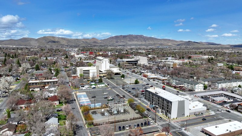
Carson City
Field elevation, dry Sierra-front weather, and airport-industrial land uses make site authority a first-pass question.
State field guide
The original five-guide release covered Las Vegas, Reno, Carson City, Laughlin, and Pahrump. Nevada has three metropolitan statistical areas in Census Vintage 2025, so that selection used whole 2020 Census urban areas containing Nevada territory. Laughlin anchors the Nevada side of the cross-state Bullhead City urban area. Henderson and North Las Vegas were added in a separate city-proper population pass. Urban-area counts do not measure city population, project demand, site access, or authority over a work area.
Field elevation, dry Sierra-front weather, and airport-industrial land uses make site authority a first-pass question.
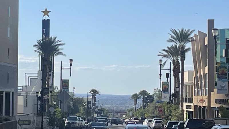
Henderson has its own industrial and water-system sites. A nearby helicopter airport does not settle the lift route or the ground access.

Class B traffic, desert heat, and freight congestion make the ground plan inseparable from the flight path.

Cross-state airport access, riverfront terrain, and extreme heat make the site boundary and work window inseparable.
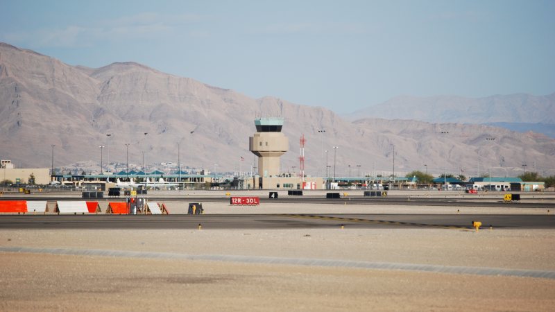
A city airport sits beneath Las Vegas Class B airspace. On the ground, I-15 freight access and utility easements can set different limits on the same job.
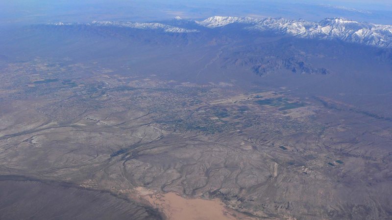
Airport permission, SR 160 access, and incomplete infrastructure keep route and site authority ahead of schedule assumptions.

Sierra wind, Class C traffic, and industrial freight routes put performance and access on the same planning sheet.
From the technical library