
External Load Operations
Field elevation, Sierra-front wind, traffic mix, load class, and site control need one operation-specific review.
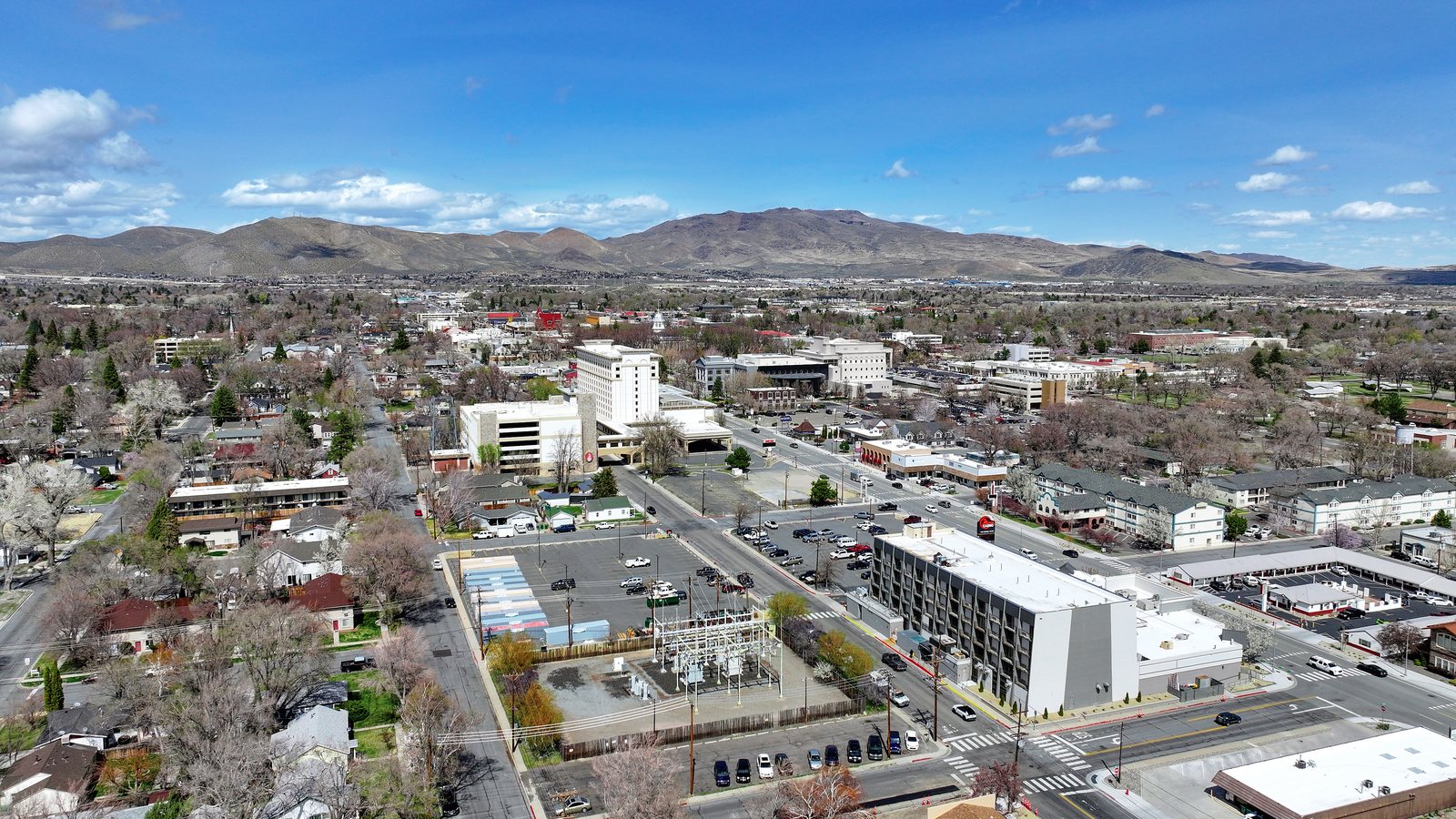
Local lift planning
Field elevation, dry Sierra-front weather, and airport-industrial land uses make site authority a first-pass question.
The 2020 Census counted 61,629 residents in the Carson City urban area. That whole-area count places Carson City third in Nevada’s fallback. It does not settle site access, jurisdiction, or aviation feasibility.
The current FAA entry places Carson City Airport northeast of the urban core at 4,704 feet. It lists a 6,101-by-75-foot paved runway and identifies the field as a cold-temperature airport. Runway data is a reference, not proof of helicopter access or external-load acceptance.
Carson City’s current zoning layer maps Airport Industrial Park and General Industrial Airport districts near the field. Those labels guide an initial industrial-context review, but do not grant parcel access or waive airport rules. The Reno guide covers a larger Class C setting to the north.
The FAA entry notes UAS, ultralight, and glider activity on or near the field, plus visual-guidance limitations. Current charts, NOTAMs, traffic, and airport instructions remain work-window inputs.
An August 29 NWS fire-weather forecast places Carson City in the Northern Sierra Front zone and called for valley minimum humidity of 7 to 17 percent with southwest winds of 15 to 25 mph. That dated product illustrates the local screen; it is not a forecast for a future project.
NDOT’s over-dimensional permit process reviews clearance and route capacity for heavy or oversized movement. It does not replace local traffic control, staging permission, or aviation review. The permit jurisdiction guide keeps those approvals separate.
Field elevation, Sierra-front wind, traffic mix, load class, and site control need one operation-specific review.

Airport-industrial parcels can create heavy-component receiving problems where route capacity and placement geometry need comparison.

Occupied public and commercial buildings require certified unit weight, rooftop geometry, and agency-approved ground control.

Glider and UAS activity, mountain terrain, and public-land boundaries shape tower route and exclusion-area planning.

Utility settings require owner control, energized clearances, and fire-weather planning independent of aircraft selection.
The official zoning layer establishes airport-industrial land-use context. For lift planning, that directs attention to parcel permission, route geometry, and airport access. It does not show current site availability or project demand.
Airport-focused industrial zoning and state-capital development create separate access problems. Industrial parcels depend on owner permission and route geometry. Public buildings add occupied-site separation and agency control. The load verification sheet keeps certified weight and rigging allowance ahead of method selection.