
HVAC & Rooftop Units
Large warehouse roofs can present short final reaches while freight circulation and narrow approach roads restrict crane setup.
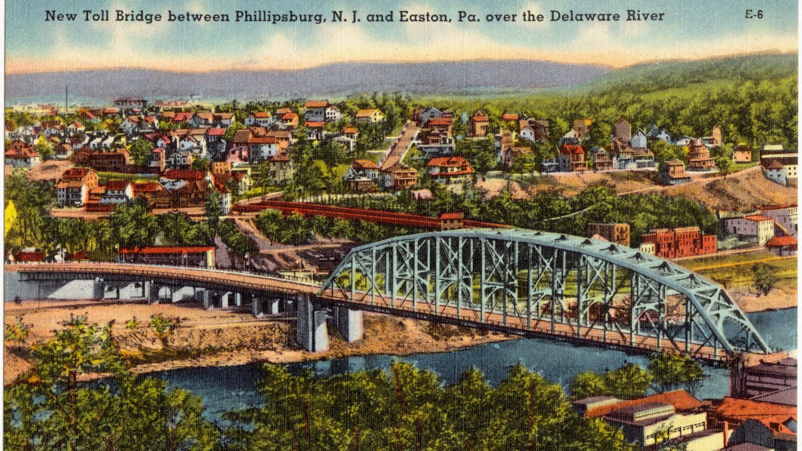
Local lift planning
Delaware River access, freight pressure, and uneven terrain can make the approved ground route as restrictive as the flight path.
The Census Vintage 2025 metro table estimates 887,615 residents in the Allentown-Bethlehem-Easton metropolitan area, placing it third among metropolitan areas containing New Jersey territory. The Census delineation file identifies Warren County as its only New Jersey component.
Phillipsburg anchors the New Jersey side because Census municipal estimates put the town at 15,456 residents in 2025, the largest municipality in Warren County. The figure supports the editorial anchor choice. It does not predict project demand.
The September 2026 FAA diagram for Lehigh Valley International Airport shows two crossing runways, tower control, and a separate cargo area. It establishes a busy regional aviation setting, not a staging location or aircraft-fit decision.
The National Weather Service Easton-Phillipsburg river profile sets minor flood stage at 22 feet and identifies impacts near Riverside Way, local intersections, and Sawmill Street through Lopatcong Creek backwater. River level and ground access belong in the same weather decision.
Phillipsburg’s 2024 master-plan reexamination documents warehouse growth and freight pressure on underdeveloped one- and two-lane roads. A large industrial parcel does not prove that a pickup zone or support route is workable.
The same planning record describes steep slopes, ridges, active rail rights-of-way, and residential areas beside industrial land. Traffic, loading areas, and noise controls can narrow the usable ground footprint. The site survey checklist brings those parcel-level conditions into the route record.
Large warehouse roofs can present short final reaches while freight circulation and narrow approach roads restrict crane setup.

Older industrial structures need verified component weights and a receiving zone separated from rail, truck, and residential activity.

Regional airport traffic, river terrain, rigging, and the full ground exclusion area belong in one route record.

Ridges and steep slopes can complicate access to communication sites even where the regional road network appears close.

Utility work near the Delaware River or rail property requires owner control, energized clearances, and flood-aware support access.
The 2024 planning record identifies new warehouses larger than 500,000 square feet and increased freight traffic. Rooftop equipment or structural placements around those buildings must fit the approved truck route and operating schedule.
The 2024 planning record supports continued or restored industrial use on suitable former manufacturing sites. Older structures and rail-adjacent parcels can make certified load data, receiving-zone control, and emergency access more important than the short distance between pickup and set points.