
HVAC & Rooftop Units
State, institutional, and transit-district roofs may have limited crane positions while occupied streets restrict the exclusion area.
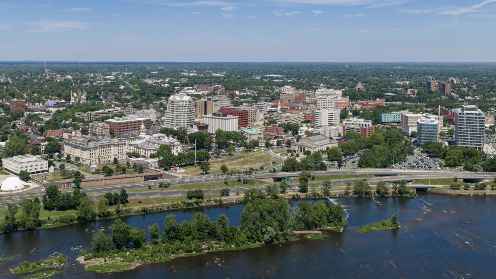
Local lift planning
A state-capital riverfront, crossing runways, and a dense transit district demand separate checks for airspace, access, and buried utilities.
The Census Bureau estimates 399,289 residents in the Trenton-Princeton metropolitan area in 2025. It ranks fourth among metropolitan areas containing New Jersey territory. The whole-area estimate sets guide order and does not measure project demand.
The September 2026 FAA diagram for Trenton-Mercer Airport shows two crossing runways, an operating control tower, and a marked runway-intersection hot spot. Current traffic, NOTAMs, and the proposed route need review before a city lift is treated as workable.
Trenton’s transit district includes Amtrak, NJ Transit, and SEPTA service. Planned mixed-use development near the stations puts occupied buildings and passenger movement into the ground-control review.
The National Weather Service Trenton river profile sets minor flood stage at 20 feet. Listed impacts include sections of Stacey Park, the State Capitol parking garage, and southbound Route 29. Flood review must cover the receiving zone and every required access route.
The FAA airport diagram also shows general-aviation areas, the passenger terminal, and New Jersey National Guard and State Police facilities. That operating mix calls for direct coordination rather than assumptions based on distance from the airport.
Trenton Water Works reports 683 miles of transmission lines with pipe sizes from 4 to 48 inches. Its staff handles underground-utility mark-outs. Pavement, shoulders, or landscaped public ground should not be used for support equipment until buried infrastructure is checked.
State, institutional, and transit-district roofs may have limited crane positions while occupied streets restrict the exclusion area.

Rail-adjacent and downtown structures require certified load data plus a route that protects passengers, traffic, and neighboring property.

Crossing-runway traffic, urban obstacles, rigging, and full-path ground control need one coordinated record.

Developed districts and regional airport activity add public exposure and controlled routes to communication-site planning.

Municipal utility work requires mark-outs, owner control, and traffic separation before support equipment occupies public ground.
Trenton’s Urban Enterprise Zone covers 3.06 square miles of commercial and industrial land. The city says it has served more than 800 businesses and supported construction or rehabilitation across several property types. Occupied-site controls may govern rooftop and structural work in these districts.
The city’s transit district plans and large municipal water system create separate infrastructure interfaces. Station-area work and utility maintenance can produce constrained placements, but the exact load and property permissions determine whether aviation belongs in the plan.