
Transmission Line Stringing
Wooded, rolling utility corridors can punish conventional access. Slope, shallow bedrock, conductor control, and the airspace around Drake Field all belong in the method comparison.
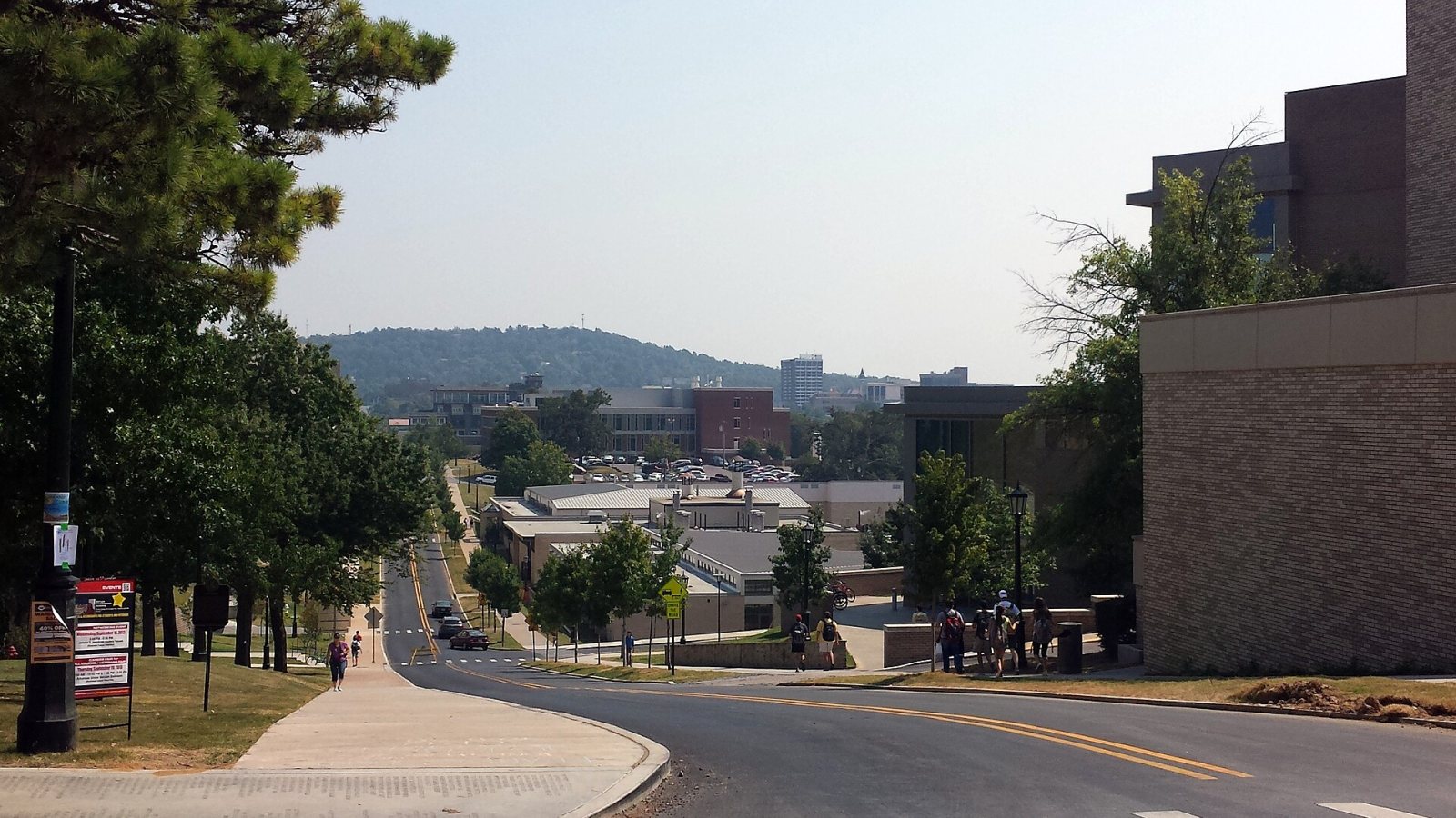
Local lift planning
Steep Ozark ground, a nearby towered airport, and fast institutional growth make grades and access as important as the load itself.
Fayetteville is an Ozark city where a short map distance can hide a difficult grade. City Plan 2040 reports that about 16 percent of the city and planning area has slopes of at least 15 percent. Severe-slope areas can combine shallow bedrock with limestone, sandstone, siltstone, or shale. That makes crane setup, haul routes, and load staging site questions rather than assumptions.
Drake Field sits three miles south of Fayetteville at 1,252 feet above sea level. The July 9, 2026 FAA Chart Supplement entry lists a 6,005-foot grooved runway and Class D airspace during tower hours, changing to Class E when the tower is closed. A lift concept near the urban core should account for the published schedule, current charts and NOTAMs, local traffic, obstacles, and the route between staging and the set point.
The local development pattern is anchored by institutions and growing technical industries. Fayetteville’s economic-development office identifies the University of Arkansas, healthcare, advanced manufacturing, construction, and clean technology. Those sectors produce rooftop equipment, steel, utility, and campus access problems. They do not make a helicopter the default. They make accurate comparison data more valuable.
Fayetteville has more than one weather season to plan around. The NOAA 1991-2020 Drake Field climate normals list May as the wettest normal month, recurring summer days above 90 degrees, frequent freezing days, and measurable snow. Wet soil can degrade staging or crane access, heat changes aircraft performance, and a freeze can break the morning access plan.
Public-street work carries defined restoration obligations. The city’s published permit fee schedule covers driveway work, curb cuts, sidewalks, and excavation in public right-of-way, with a repair-cost deposit for street excavation. State-highway cuts and bores appear separately. The project record should identify the controlling road authority and closure footprint before a date is treated as firm.
Slope changes affect more than the aircraft path. Trucks, rigging crews, fuel support, barricades, and emergency access all need a stable route and workable grade. The helicopter lift intake checklist captures those inputs, while the density-altitude guide explains why elevation, temperature, and load weight must be evaluated together.
Wooded, rolling utility corridors can punish conventional access. Slope, shallow bedrock, conductor control, and the airspace around Drake Field all belong in the method comparison.

Ridge and hilltop sites may offer clear signal coverage but poor road geometry. Staging grade and the obstacle picture need site-level confirmation.

University, healthcare, and commercial roofs can sit inside busy pedestrian networks. Ground control and nearby airport traffic are inseparable from the lift plan.

Institutional and industrial additions on sloping sites can create compact placement zones where crane access, rigging, and aerial options deserve a direct comparison.
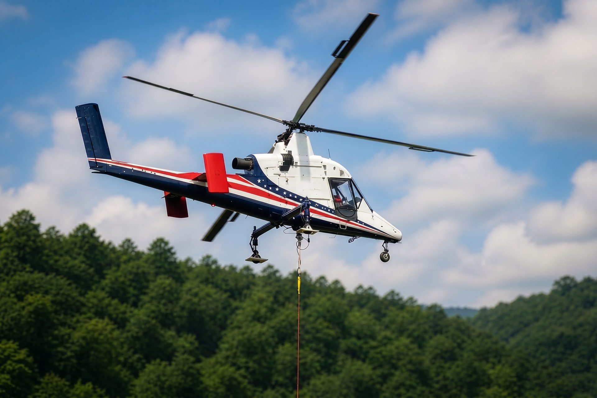
Selected Ozark sites may avoid new temporary roads through aerial freight, provided verified loads and forecast performance support the work window.
University and healthcare facilities create dense roof and campus work. The city’s sector profile identifies both as local anchors. A mechanical placement may reduce a long crane occupation, but only if pedestrian control, emergency access, nearby occupied space, and Drake Field traffic can be handled without weakening the ground plan.
Advanced manufacturing and infrastructure work extend into the larger Northwest Arkansas metro. Plant equipment, steel additions, transmission corridors, and ridge-top communication sites each pose a different access problem. On steep ground, avoiding a temporary road can be meaningful, but verified load weight and actual hover performance still decide the aircraft case.