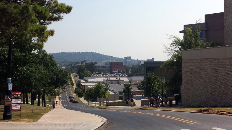
Fayetteville
Steep Ozark ground, a nearby towered airport, and fast institutional growth make grades and access as important as the load itself.
State field guide
Arkansas spans the Delta, the Arkansas River Valley, the Ouachita Mountains, and the Ozark Plateau. Airspace, terrain, weather, and ground access change quickly between those regions, so each lift concept needs a local operating picture rather than a statewide shortcut.
Steep Ozark ground, a nearby towered airport, and fast institutional growth make grades and access as important as the load itself.
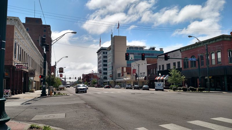
A working river corridor, rising terrain, and military airspace turn Fort Smith projects into route-and-access problems before the hook moves.
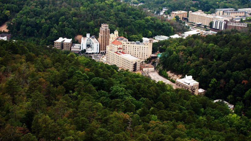
Ouachita ridges press visitor, healthcare, and utility sites into narrow ground where obstacles and runoff can control the entire access plan.
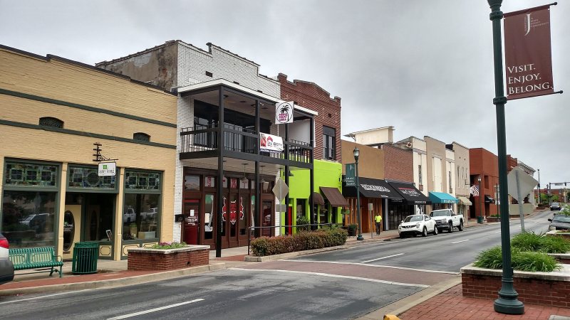
Crowley’s Ridge drops into low Delta ground beside a manufacturing city with an airport, hospitals, and a severe-weather calendar that cannot be ignored.

Class C airspace meets a river-port industrial corridor and higher west-side ground, all inside a metro exposed to fast, damaging storms.
From the technical library