
HVAC & Rooftop Units
Hospitals, campus buildings, and manufacturing roofs can make public access or plant continuity the central constraint. Jonesboro Municipal traffic remains part of route planning.
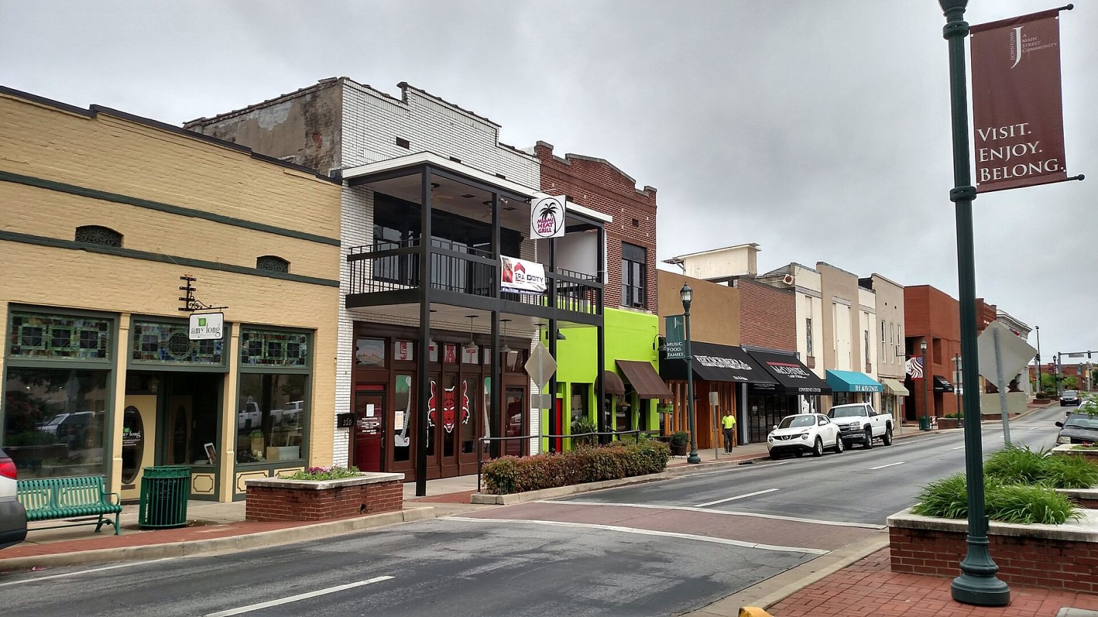
Local lift planning
Crowley’s Ridge drops into low Delta ground beside a manufacturing city with an airport, hospitals, and a severe-weather calendar that cannot be ignored.
Jonesboro sits on two different ground systems. The city’s master watershed study maps higher Crowley’s Ridge against lower Delta terrain. A ridge site may restrict approach and truck grades, while a nearby lowland site may be governed by drainage, soft soil, or floodway access. One metro label does not make those sites interchangeable.
Jonesboro Municipal Airport is three miles east of the city. The July 9, 2026 FAA Chart Supplement entry lists two paved runways, Jet A, an instrument landing system on Runway 23, and continuous Class E airspace. Those facts make the airport a useful planning reference, not blanket authorization for off-airport external-load work. Current charts, NOTAMs, obstacles, and the proposed route still control.
The city’s institutional and industrial base creates distinct placement problems. The Jonesboro administration overview describes major manufacturing, Arkansas State University, two large hospitals, and medical education. That mix supports rooftop mechanical work, plant additions, campus construction, and utility infrastructure where street access or active operations may dominate the method decision.
Severe-weather timing matters when selecting a work window. The NWS Memphis regional climatology shows the main severe-weather period from April through June, with damaging-wind reports peaking in June, hail in May, and tornado reports in April. Reports also cluster in late afternoon and early evening, with a secondary seasonal maximum in November. This is a planning pattern, not a substitute for the forecast.
Ground access can change quickly between the ridge and Delta. Low ground may remain unsuitable after a storm even when the runway and sky have cleared. The site survey checklist should record drainage, bearing surface, truck routes, slope, obstacles, and an alternate staging location before aircraft performance is evaluated.
Jonesboro’s Master Street Plan reserves right-of-way for travel lanes, pedestrian routes, and utilities, and allows added width where grade, floodway, intersections, or demand require it. The city publishes a separate lane and street closure permit for work that affects public streets. That municipal approval runs alongside the aviation track described in the permitting guide.
Hospitals, campus buildings, and manufacturing roofs can make public access or plant continuity the central constraint. Jonesboro Municipal traffic remains part of route planning.

Industrial additions can require short placements across active production areas. The ground-crane and aerial cases should use the same verified load and closure assumptions.

Utility corridors cross both Crowley’s Ridge and low Delta ground. Slope, drainage, conductor control, and staging condition can change structure by structure.
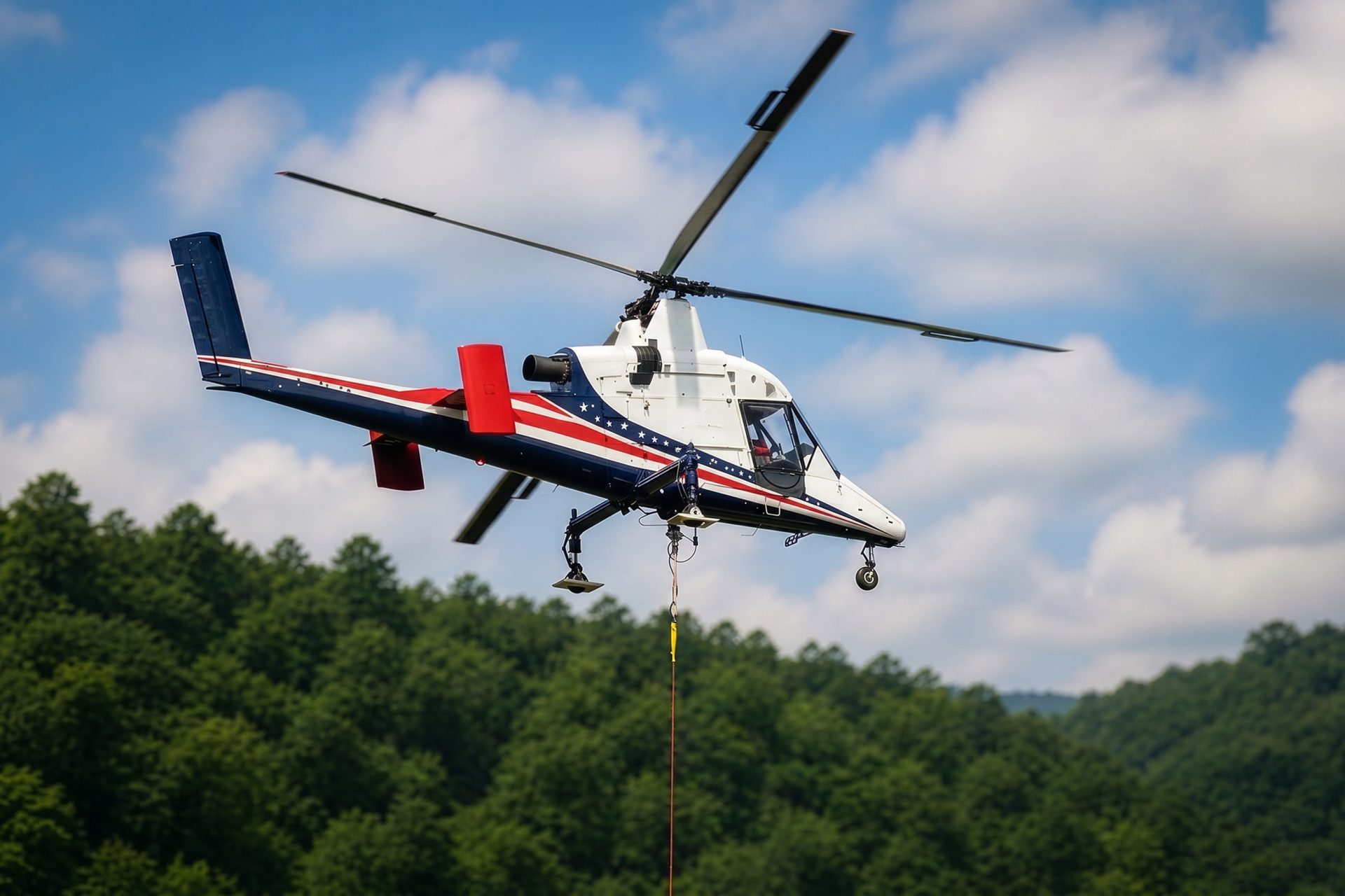
Lowland sites with compromised road access may justify an aerial freight comparison. The staging surface still must support the ground crew and load preparation.

Spring severe weather can damage utilities and restrict roads. Recovery work still needs controlled ground zones, current airport information, and verified external loads.
Manufacturing is central to Jonesboro’s published economy. The city administration profile also identifies major healthcare and university institutions. Rooftop units and compact steel placements may fit an aerial comparison where an active plant, hospital entrance, or campus street makes a long crane occupation difficult.
Utility lines and communication networks cross from Crowley’s Ridge into flatter agricultural and Delta ground. Aerial work can reduce new access disturbance at selected structures, but waterlogged staging, conductor control, public boundaries, and Jonesboro Municipal traffic remain part of the plan.