
HVAC & Rooftop Units
Downtown and medical-district roofs can make crane setup and emergency access the central comparison. LIT Class C and public streets remain part of the same plan.
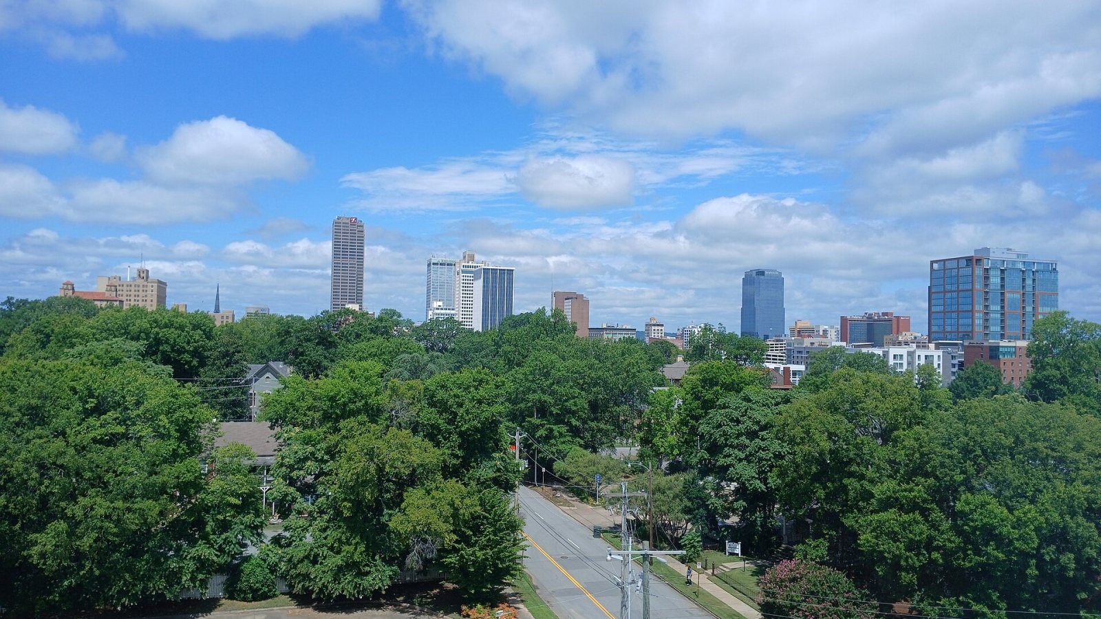
Local lift planning
Class C airspace meets a river-port industrial corridor and higher west-side ground, all inside a metro exposed to fast, damaging storms.
Little Rock changes character across a short distance. A U.S. Geological Survey siting study places the city on the border of the Ouachita province and the Mississippi Alluvial Plain. It describes little topographic relief on the Arkansas River floodplain, compared with subdued Ouachita ground that rises as much as about 150 feet above the river. A staging plan built for one side of that boundary may fail on the other.
Bill and Hillary Clinton National Airport/Adams Field sits on the city’s eastern edge just south of the Arkansas River. The FAA LIT briefing identifies Class C airspace, three runways, and North Little Rock Municipal only about six miles to the north-northwest. The similar runway layouts have contributed to wrong-airport approaches, so both fields belong in the airspace review even when the job appears centered on one side of the river.
Little Rock’s lift questions follow its transportation network. The city economic-development office points to the I-30 and I-40 junction, Arkansas River navigation, the Port of Little Rock, the airport, and major healthcare and manufacturing activity. Those assets create rooftop, utility, port, and plant work where a helicopter may solve a short placement problem. It should still be compared against a ground crane and conventional transport using the actual closure, staging, and production impacts.
Severe weather is part of the operating case, not a footnote. The NWS Little Rock 2023 storm summary documents flash flooding after 4.19 inches of rain in one day, an EF3 tornado crossing west Little Rock and North Little Rock, and a later microburst. A lift schedule needs forecast gates and a stand-down plan. The ground team also has to recheck access roads, soil, and exclusion areas after heavy rain.
Public right-of-way can control an urban project before the aircraft arrives. Little Rock Civil Engineering oversees streets, drainage, capital work, and right-of-way matters, while traffic impacts can require separate closure planning. The lift permitting guide explains why municipal access approval and federal aviation authority run on different tracks.
River and floodplain ground deserves a physical check rather than an assumption from pavement. Little Rock publishes floodplain maps and parcel-check guidance for this purpose. Drainage toward the Arkansas River and Fourche Creek can leave low sites wet after the storm has passed. Record the load staging zone, access surface, slope, obstacles, public boundaries, and alternate setup in the helicopter lift site survey checklist before comparing aircraft and crane methods.
Downtown and medical-district roofs can make crane setup and emergency access the central comparison. LIT Class C and public streets remain part of the same plan.

Arkansas River and floodplain corridors can limit ground access to structures. Soil condition after heavy rain may decide whether aerial support is practical.

Port and manufacturing sites can present short placements across active yards, rail, or production areas where the closure plan matters as much as the load.

Communication structures on higher west-side ground combine slope access with nearby controlled airspace. The site-specific obstacle picture controls the route.

Tornadoes, damaging winds, and flooding can break normal road access. Recovery lifts still require verified loads, controlled ground zones, and current aviation coordination.
Healthcare and institutional roofs concentrate near dense streets where emergency access cannot be traded away. The city’s development profile identifies healthcare among the central sectors. Rooftop mechanical work in that setting requires a plan for street occupancy, people below, hospital access, and nearby airport traffic before an external-load method is considered.
Port, manufacturing, and utility sites extend east along flatter river ground. Heavy components may have good industrial staging but cross rail, highway, drainage, or active-facility boundaries on the way to the set point. Transmission and storm-recovery work can reach floodplain corridors where temporary roads carry their own cost and restoration burden.