
Transmission Line Stringing
River crossings and broken ground outside the urban core can turn conductor access into the controlling issue. The flight route still has to clear Fort Smith airspace and nearby military activity.
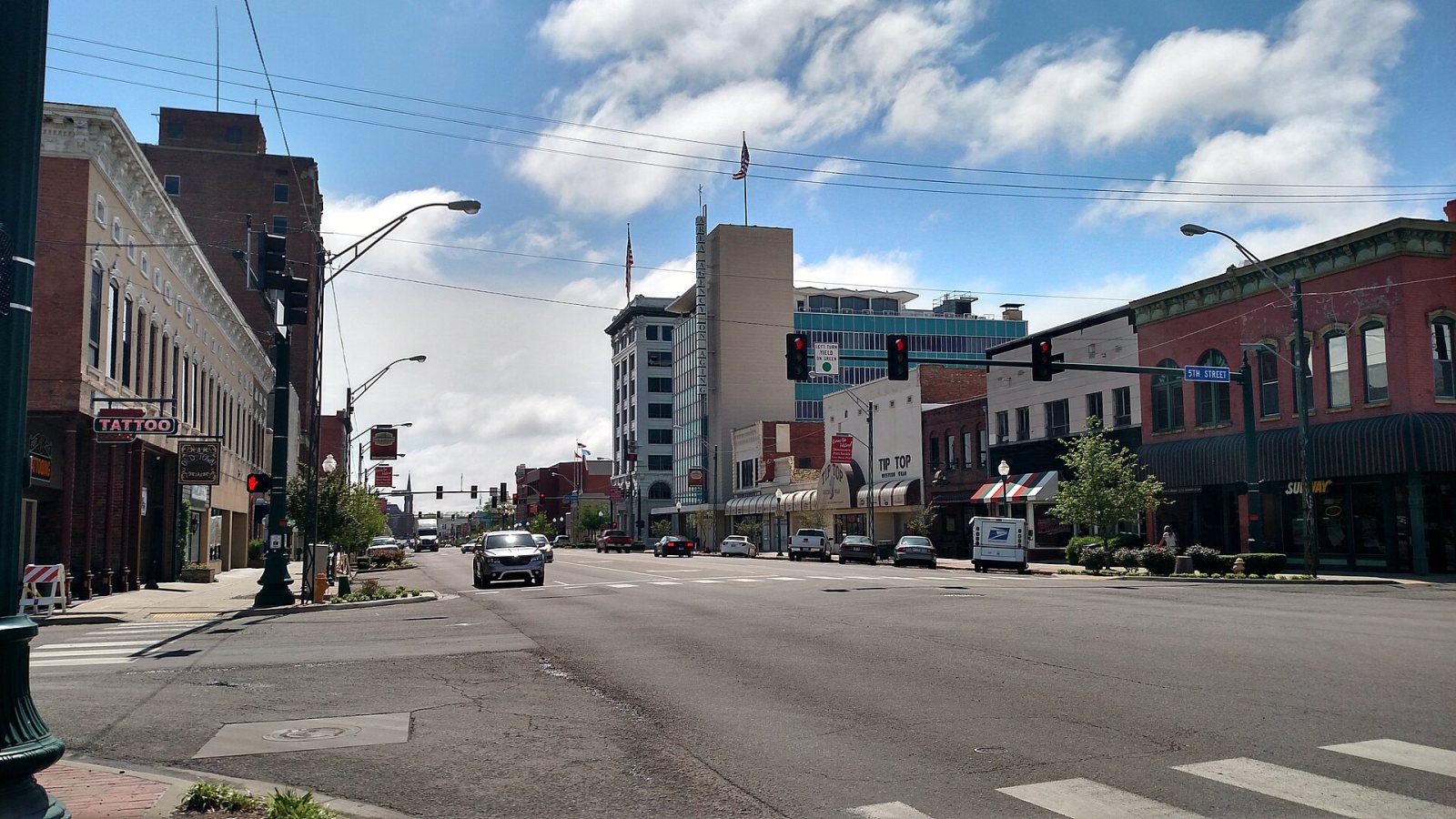
Local lift planning
A working river corridor, rising terrain, and military airspace turn Fort Smith projects into route-and-access problems before the hook moves.
Fort Smith occupies the broad valley where the Poteau River meets the Arkansas River. The National Weather Service local overview places the city between the Boston Mountains to the north and the Ouachitas to the south, with elevations changing from roughly 390 to 700 feet. That geography can put a flat staging area within sight of broken hills, creek bottoms, or river ground that complicates road access.
Fort Smith Regional Airport sits three miles southeast of the city center. The FAA airport briefing identifies Class D airspace beneath the Fort Smith TRSA, rapidly rising terrain south of the field, and military-use airspace to the southeast. A proposed external-load route therefore needs current charts, NOTAMs, active-airspace status, and direct coordination for the actual work window.
The industrial case is tied to real transportation infrastructure. The City of Fort Smith community profile identifies a navigable waterway, interstate connections, freight rail, manufacturing plants, and logistics employers. Roof equipment, utility structures, plant additions, and remote corridor work can all create lift questions. The right comparison is still aircraft access versus a ground crane, barge, or conventional haul plan for the specific load.
Weather can close both the flight window and the ground route. The NWS Fort Smith climatological overview notes river fog that can push west under an inversion, summer convective rain, and winter ice that disrupts transportation more often than snow. Planning needs a visibility decision point, a secure stand-down condition, and a ground-access check after freezing weather.
State-highway access is its own workstream. ARDOT publishes separate permits for oversize or overweight movement, work within state right-of-way, and utility activity there. Those approvals do not replace FAA or Part 133 requirements. The jurisdiction split should be mapped early using the site owner, road authority, load route, and traffic-control limits, the same discipline covered in the guide to lift permitting jurisdictions.
Municipal streets add a local interface. Fort Smith’s Traffic Control division manages signals, pavement markings, signs, and work-zone setups for city crews. A project affecting a public street should fix responsibility for barricades, traffic movement, and emergency access before the operating date. The site survey checklist provides a practical place to record those boundaries.
River crossings and broken ground outside the urban core can turn conductor access into the controlling issue. The flight route still has to clear Fort Smith airspace and nearby military activity.

Manufacturing, medical, and logistics roofs may have workable landing zones but poor crane setup. Street control, emergency access, and airport proximity remain part of the site plan.

Plant additions near rail, river, or active production areas can create compact placement windows where aerial and ground-crane methods deserve a direct engineering comparison.

Valley-edge sites can combine limited road access with rising terrain. Obstacle review and the status of nearby military-use airspace belong in the route study.
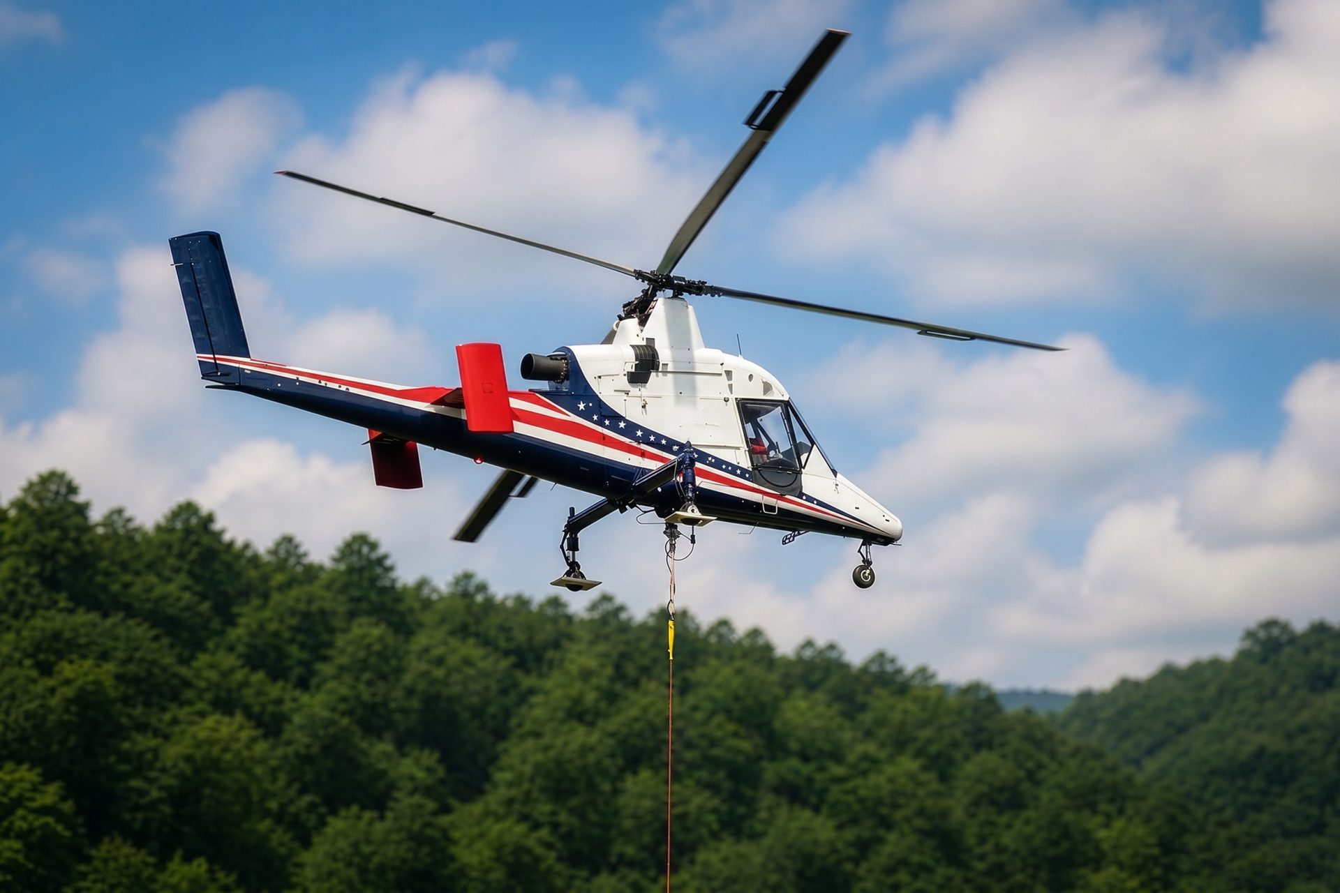
Work sites beyond paved access may avoid temporary road construction with carefully planned aerial freight. Arkansas River Valley weather can still interrupt the sequence.
Manufacturing remains visible in the city’s published employer list, including equipment, food processing, and metals businesses. The official community profile also points to the river, rail, and interstate network that supports those plants. External-load work may be relevant for rooftop mechanical equipment or short plant placements where shutdown time and crane setup dominate the method comparison.
Utility and communication corridors leave the developed valley and encounter steeper ground on its edges. Transmission structures, tower components, and selected remote freight moves can avoid new temporary roads, but only after terrain, load weight, rigging, fuel state, and the active military-airspace picture have been resolved.