
HVAC & Rooftop Units
High-rise rooftops can make street occupation and public protection as important as the pick. Class B airspace adds a separate aviation track.
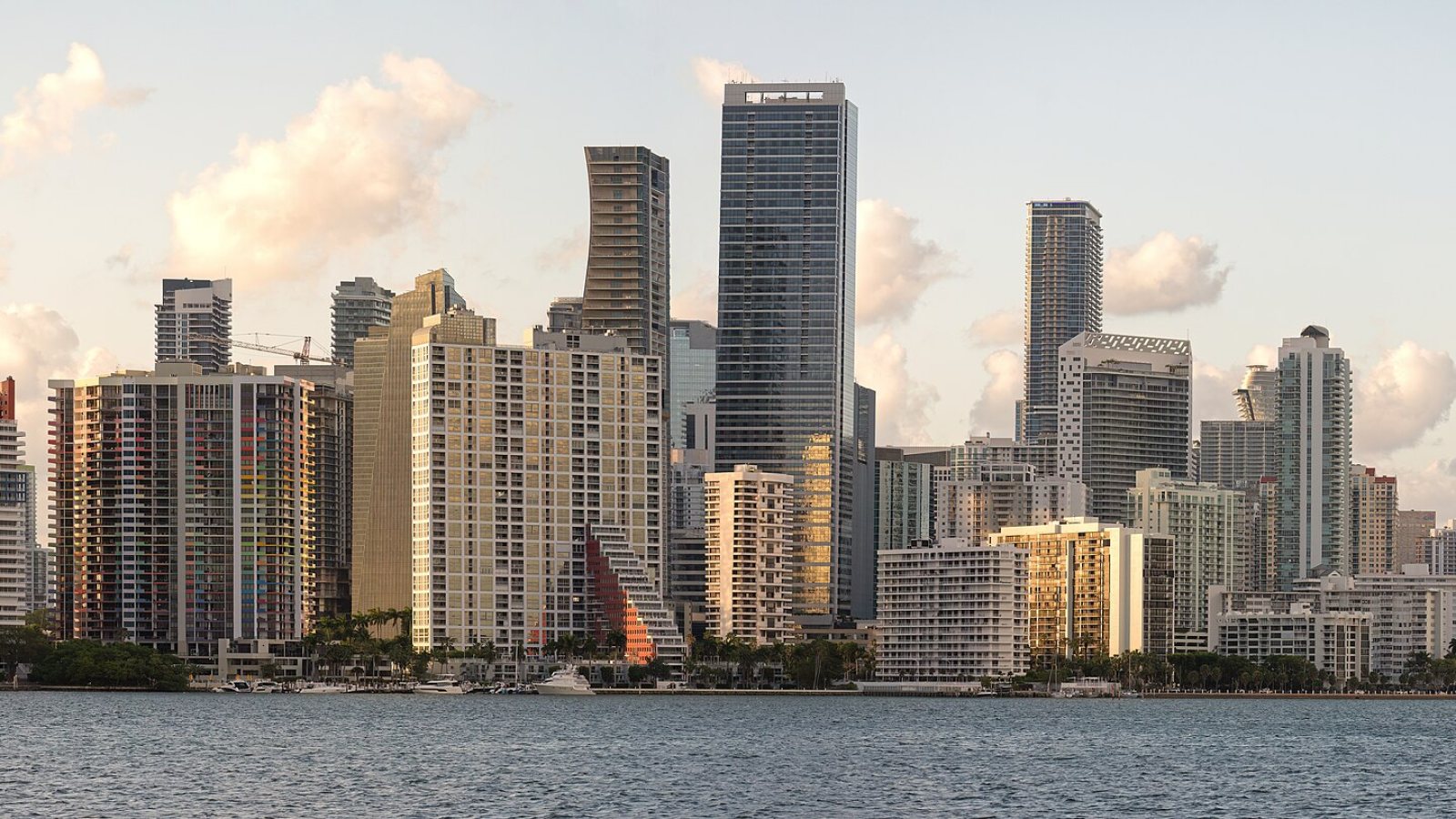
Local lift planning
Dense Class B airspace, international cargo traffic, a major seaport, and wet-season convection make route and ground control inseparable.
Photo: Wilfredor, CC0 1.0, via Wikimedia Commons. Cropped, resized, and compressed.
The Census Bureau estimates the Miami-Fort Lauderdale-West Palm Beach metro at 6,391,072 residents on July 1, 2025, first among Florida MSAs in the Vintage 2025 workbook. The scale matters, but it does not define a route. The worksite coordinates and the people, structures, roads, and waterways below a proposed flight path do.
The current FAA Miami airport diagram depicts four runways at Miami International, ASDE-X surface surveillance, and five published hot spots. The Miami Terminal Area Chart describes the area as heavily congested with many aircraft types and requires ATC authorization before entry into Class B airspace. A city map cannot answer whether a proposed external-load route works.
The PortMiami cargo profile reports 1,115,058 TEUs and 9,863,003 total tons for 2025. Its tunnel carries roughly 80 percent of port traffic directly to the interstate system, and the same county page identifies Miami International as the leading U.S. airport for international cargo volume. Port, warehouse, airport-facility, and waterfront work therefore sit inside a connected freight system. The site survey checklist helps separate the air route from that landside system.
The FAA’s Miami Terminal Area Chart shows layered Class B shelves and nearby airport flows. Ingress, egress, operating altitude, contingency routing, and any congested-area planning need current charts, NOTAMs, and operator coordination. The published chart is context, not authorization.
The National Weather Service places South Florida’s wet season from mid-May through mid-October in its wet-season outlook. Mid-May through early July is typically the stormiest phase, with strong wind, excessive lightning, hail, flooding, and occasional tornadoes. Tropical influence grows later in the season. A work window needs written shutdown and restart points.
The Miami-Dade public-works permit portal states that the county permits construction on county-owned or county-maintained rights-of-way within municipalities, plus certain work on municipal rights-of-way. Staging or traffic control may cross a boundary that is invisible at the set point. The site team should identify the controlling road and property agencies before the sequence is fixed. The broader permit jurisdiction guide explains why aviation and ground approvals remain separate.
High-rise rooftops can make street occupation and public protection as important as the pick. Class B airspace adds a separate aviation track.

Port, airport, and dense urban sites can create short placement problems where route control matters more than straight-line distance.

Communication structures must be studied against the Miami terminal-area airspace and the actual obstruction environment.

Confined waterfront and campus sites demand exact load data, a protected ground footprint, and a planned escape path.

Tropical systems can damage power, roof, and transportation infrastructure while also restricting safe flight and ground access.
Marine freight and port infrastructure are direct local contexts. The PortMiami cargo page documents container terminals, a port tunnel, on-dock rail, and large annual freight volumes. Maintenance or equipment work around those facilities has to account for vessels, cranes, rail movements, truck gates, and occupied property.
Aviation cargo and airport facilities form a second planning context. Miami-Dade identifies MIA as the country’s leading international-cargo airport, while the FAA airport diagram shows the runway and surface-control environment around it. Facility work cannot be separated from airport operations or secure-side access.