
HVAC & Rooftop Units
A downtown roof near the waterfront needs a surveyed set point and a plan for people below. Do not assume street access is impossible.
Local lift planning
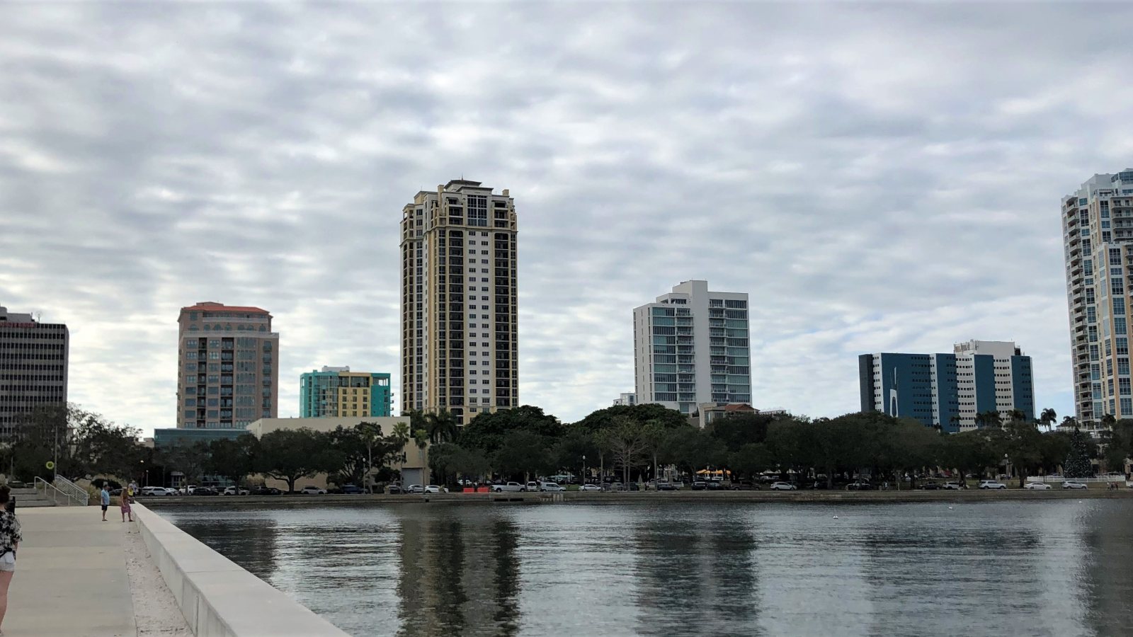
The downtown waterfront puts Port St. Pete beside an airport and public shoreline. A proposed load path needs an address-level review.
Photo: Beyond My Ken / Wikimedia Commons / CC BY-SA 4.0. Cropped and resized. Derivative distributed under CC BY-SA 4.0. License terms.
The Census Bureau’s Vintage 2025 city estimates put St. Petersburg at 264,033 residents. This is the incorporated city, not the Tampa-St. Petersburg-Clearwater metropolitan area. Its waterfront has a different airport and street setting from nearby Tampa. The Florida location guide covers the wider state.
The City’s Port St. Pete page describes a downtown quay, yacht berths, and shore-power facilities. At a hypothetical waterfront equipment set, the receiving point and any load path would need to account for marine activity and public access. The port page documents the setting, not a helicopter project.
The St. Pete Water Plan covers stormwater, water, and wastewater systems. It identifies Lift Station 87 and its underground connection as wet-weather infrastructure work. A pump replacement is a possible method-comparison example, not a claim that this project used an aircraft.
The FAA Albert Whitted Chart Supplement entry places SPG at the downtown waterfront and notes a ship channel, ocean vessels, and boat masts near approach areas. Open water is not automatically a clear route. The proposed coordinates and current chart govern the airspace and obstacle review.
The NWS Tampa Bay thunderstorm guide describes sea-breeze-driven storms, lightning, and heavy rain during the West Central Florida rainy season. A weather-window checklist should use the current forecast and observed conditions, not climatology alone.
In a documented City development review, conceptual construction access did not guarantee final temporary-traffic-control approval. That specific review addressed sidewalk, bicycle, vehicle, and parking effects. The requirements for a new site must be confirmed with its owner and controlling agency. The permit-jurisdiction guide explains why ground and aviation reviews are separate.
A downtown roof near the waterfront needs a surveyed set point and a plan for people below. Do not assume street access is impossible.

Compare the actual closure footprint, load path, and pick sequence with a ground crane before choosing an aerial method.

A proposed line route needs poles, crossings, outages, and property controls mapped before a stringing method can be chosen.

Waterfront equipment moves demand a measured receiving point and marine coordination, with the airport’s approach environment checked separately.

Urgent repairs still need a safe weather window and controlled ground area. Lightning risk is not waived by a tight schedule.
The Port St. Pete profile identifies a quay and yacht facilities beside downtown. A proposed external-load equipment move at a waterfront property would need its own property consent, marine coordination, and protected set-down area. The port is not a presumed helicopter staging site.
The City’s Water Plan documents stormwater and wastewater infrastructure. For a hypothetical pump or equipment swap, load size, outage timing, and site access would decide whether a ground crane or aircraft even belongs in the comparison.