Boise
Class C airspace, high-desert heat, and busy public streets put route and ground occupation into the same plan.
State field guide
Idaho combines fast-growing metropolitan corridors with high-elevation plateaus, forested mountains, river canyons, and long utility routes. These guides represent the five largest Idaho-centered metropolitan areas in the Census Bureau Vintage 2025 estimates. Logan, UT-ID is excluded because its first-named principal city is outside Idaho; Lewiston, ID-WA ranks sixth. Each page is a planning lens, not a substitute for project-day airspace, weather, land-access, or permit checks.
Class C airspace, high-desert heat, and busy public streets put route and ground occupation into the same plan.
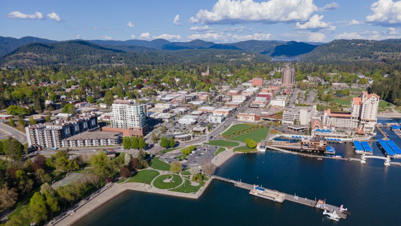
Lake traffic, winter weather, and wooded terrain leave little room for a generic route or staging assumption.

A 4,744-foot airport reference, energy infrastructure, and fast-changing wind or visibility put performance data first.

Portneuf Canyon terrain, a 4,452-foot airport reference, and windy spring weather put performance and access first.

The Snake River Canyon, high-elevation heat, and a working food-processing region make access and performance equally important.
From the technical library