
HVAC & Rooftop Units
Mixed-use and commercial roofs can make approach geometry, occupied-area control, and verified unit weight decisive.
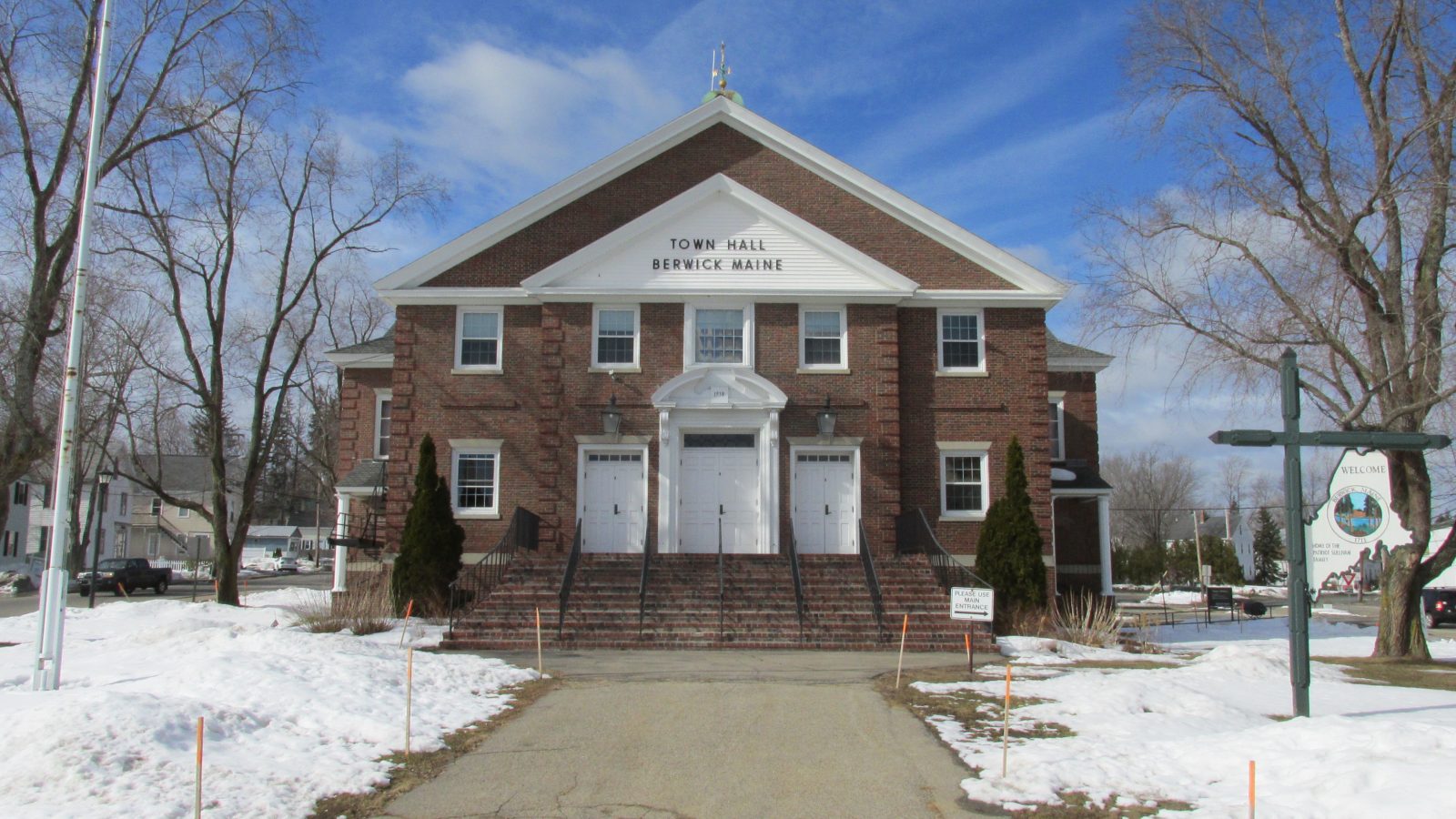
Local lift planning
A state-line bridge, winter exposure, mixed traffic at a nearby airport, and an active redevelopment district put current access checks first.
The 2020 Census Urban Areas layer counted 72,391 residents across the Dover--Rochester, NH--ME urban area, third among urban areas that include Maine territory. The Census urban-area-to-county-subdivision relationship file identifies Berwick and Lebanon as its Maine municipalities. Berwick is the selected guide anchor. The urban-area count sets guide order, not project demand.
The current FAA Chart Supplement entry for Skyhaven Airport lists the nearby Rochester field at 322 feet elevation with one 4,201-by-75-foot asphalt runway. ASOS and 100LL are listed. DAW is a regional planning reference across the state line, not a staging commitment.
Berwick describes downtown revitalization and redevelopment of the former tannery as The Edge at Berwick, with homes and commercial space. That identifies a mixed-use context, not a lift requirement or permission to enter a parcel. The site survey checklist keeps property control and occupied areas visible.
FAA remarks at DAW flag deer after sunset plus ultralight, antique, and non-radio traffic in good weather. Current NOTAMs, activity, airport permission, and route review matter more than the regional field’s proximity.
NOAA’s 1991-2020 normals for Rochester Skyhaven show 144.9 days per year with a minimum at or below freezing, 41.9 days when the maximum stays at or below freezing, and 41.22 inches of annual precipitation. This nearby-station baseline is not a parcel forecast.
MaineDOT’s 2026-2028 Berwick work plan lists 2026 work at Eddy’s Bridge on Rochester Street at the state line. Route 236 improvements near the South Berwick line are listed for preliminary engineering only. Current construction status, width, posting, and final-mile authority need direct checks. The permit-jurisdiction guide separates those road controls from flight authority.
Mixed-use and commercial roofs can make approach geometry, occupied-area control, and verified unit weight decisive.

Redevelopment sites require exact component data plus a receiving plan that respects active property boundaries.

Cross-border airport context, wildlife, mixed traffic, property control, and Part 133 planning remain distinct gates.

Freezing weather, airport activity, wildlife, and occupied ground require current route review.

Town roads, state corridors, bridge work, utility property, and private parcels can carry different permissions.
The town identifies The Edge at Berwick as a redevelopment of the former tannery with homes and commercial space. That mixed-use setting makes occupied-area and property-boundary review concrete, but it does not confirm any project or site access.
The MaineDOT plan places state-line bridge work and future Route 236 design activity in the same ground-access frame. The nearby Kennebunk guide covers a different coastal and Turnpike context. In both places, the actual route and controlling authority must be verified.