
External Load Operations
Airport permission, training traffic, wildlife, property control, and Part 133 planning remain separate gates.
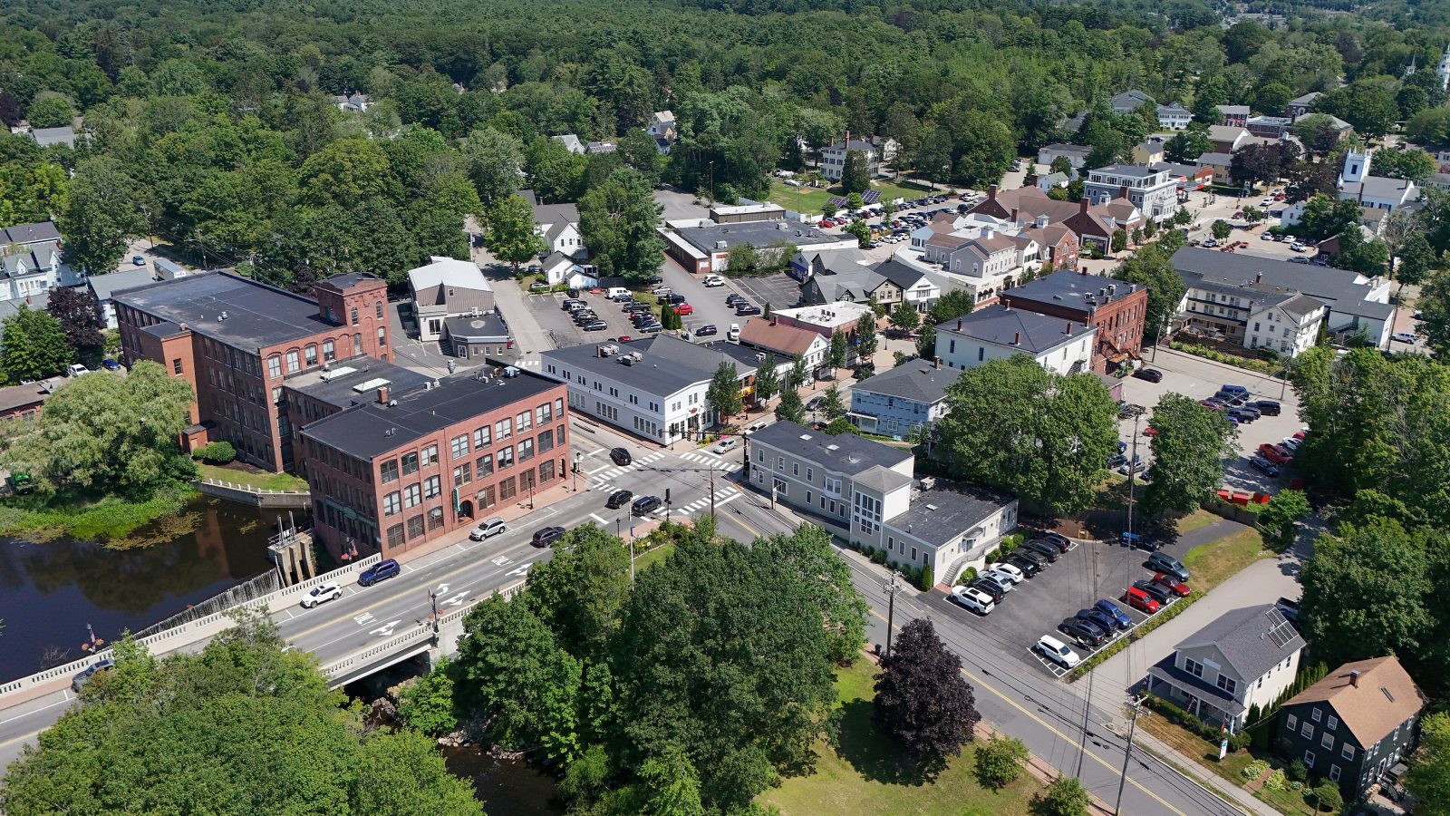
Local lift planning
Coastal weather, busy training traffic at a regional airport, and spring truck restrictions can narrow both the flight window and the final-mile route.
The 2020 Census Urban Areas layer counted 95,090 residents across the Portsmouth, NH--ME urban area, second among urban areas that include Maine territory. A separate Census urban-area-to-place relationship file identifies Kennebunk among the Maine places intersecting that area. Kennebunk is the selected Maine guide anchor. The urban-area count sets guide order, not project demand.
The current FAA Chart Supplement entry for Sanford Seacoast Regional Airport lists field elevation 244 feet. Runway 07/25 is 6,389 by 100 feet with grooved asphalt, and Runway 14/32 is 4,999 by 100 feet. Jet A and AWOS-3PT are listed. SFM is a regional planning reference, not a staging commitment.
Kennebunk’s 2022 Comprehensive Plan land-use inventory clusters commercial and industrial development along Route 1, in Lower Village, and at the Turnpike interchange. Regional access does not establish control of a receiving area. The intake checklist records the actual load route and site boundaries.
FAA remarks at SFM flag wildlife and high-volume fixed-wing and rotary-wing training. Current NOTAMs, airport activity, permission, and the proposed load path need review before the field is treated as a planning option.
NOAA’s 1991-2020 Kennebunkport station normals show 52.00 inches of annual precipitation and 48.9 inches of mean annual snowfall. This nearby coastal proxy is a planning baseline, not a forecast for a parcel or work date.
The town requires a driveway application for a new entrance and a permit for excavation in public ways. Certain town roads are posted each spring against non-exempt vehicles or combinations registered above 23,000 pounds, generally through April. The permit-jurisdiction guide keeps road authority separate from FAA and property permission.
Airport permission, training traffic, wildlife, property control, and Part 133 planning remain separate gates.

Commercial and lodging roofs can make public-space control, approach geometry, and verified unit weight decisive.

Turnpike-area and Route 1 sites require exact component data plus a realistic final-mile receiving plan.

Coastal wind, airport activity, wildlife, and occupied ground require current route review.

Town roads, state corridors, utility property, and private parcels can carry different permissions.
The town plan describes Kennebunk’s economy as diverse but heavily dependent on seasonal tourism. That is municipal context, not evidence that a site requires aircraft work. Seasonal occupancy and public access still need location-specific review.
The plan also identifies roads, bridges, culverts, sea walls, and public utilities as infrastructure exposed to storm flooding. Those conditions connect Kennebunk planning with the cross-border corridor discussed in the Berwick guide, while actual routes, weather, and site control remain project-specific.