
HVAC & Rooftop Units
A waterfront or downtown roof needs a verified unit weight, roof capacity, and public-way plan before comparing a ground crane with an aerial set.
Local lift planning
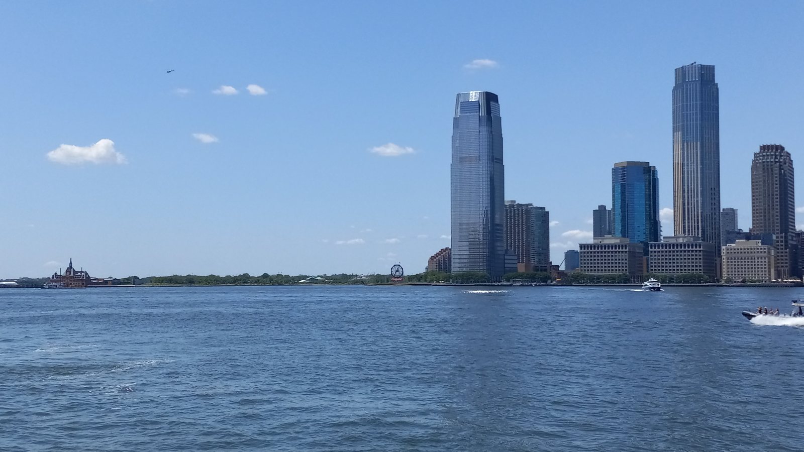
A Hudson River set point can sit beside a working freight district or a crowded public way. The route overhead and the space below need separate answers.
Photo: Kidfly182 / Wikimedia Commons / CC BY 4.0. Resized and compressed. License terms.
The Census Bureau’s July 2025 incorporated-place ranking estimates 302,013 Jersey City residents. The existing Newark guide covers a different municipality in the wider metropolitan area. Both appear in the New Jersey location index. Neither population figure establishes demand for aviation work.
The FAA’s location-identifier listing names four Jersey City heliports: Liberty National Golf Club, Liberty State Park, Newport Helistop, and Paulus Hook Pier. A listed facility is not a staging offer or an approval for an external-load route. Current charts, airspace, property rights, and the actual flight path still control.
The Port Authority’s Port Master Plan 2050 places Port Jersey and Greenville Yard across Jersey City and Bayonne, with container, intermodal, and cross-harbor rail activity. Later sections propose road and rail changes. Any equipment placement concept near this freight system would have to account for live terminal access and the people below the full route.
The National Weather Service’s New Jersey flood history records coastal-storm surge affecting Hudson County. A waterfront site needs a current forecast and an access check, especially for equipment or ground crews near the shore. Historic flooding is not a forecast for a particular lift day.
Jersey City’s Infrastructure Department describes traffic and road-opening permits, utility coordination for high-impact work, and traffic-control plans for road or sidewalk closures. It says requested closures ordinarily start no earlier than 9 a.m. A private roof or yard does not automatically grant use of the adjoining public way.
The city’s crane prior-approval guidance requires additional review when a crane occupies or lifts over a public way, including a site plan, lift limits, and wind procedures. This is a ground-crane comparison point, not an aviation permit. The jurisdiction guide separates public-way, property, and aviation decisions.
A waterfront or downtown roof needs a verified unit weight, roof capacity, and public-way plan before comparing a ground crane with an aerial set.

Port-adjacent structures need documented rigging, live terminal access, and a receiving footprint isolated from freight movements.

Registered heliports do not clear an external-load route. Current aeronautical information and the entire ground exclusion area need review.

Elevated communication work near the river adds nearby heliports, dense occupancy, and weather exposure to the obstacle review.

Utility corridors require owner control and clearance planning; a street closure follows a separate city process.
The Port Jersey and Greenville Yard facilities put freight movements near industrial structures and elevated equipment. A hypothetical component set would need current terminal permission, certified load details, and a receiving zone clear of active road or rail movements. The plan is not a record of helicopter work.
On a developed waterfront block, a rooftop-unit placement may be constrained by the public way before aircraft selection begins. The city’s traffic-control and closure process makes surface access a separate workstream. The site survey checklist keeps the roof, pickup location, pedestrian routes, and ground equipment on one map.