HVAC & Rooftop Units
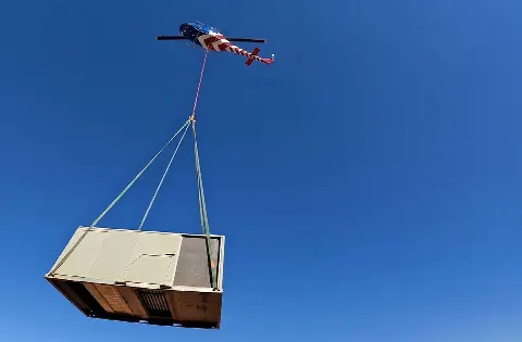
A waterfront rooftop unit needs verified equipment and roof data. The shore-side support position and public-way footprint remain separate checks.
Local lift planning
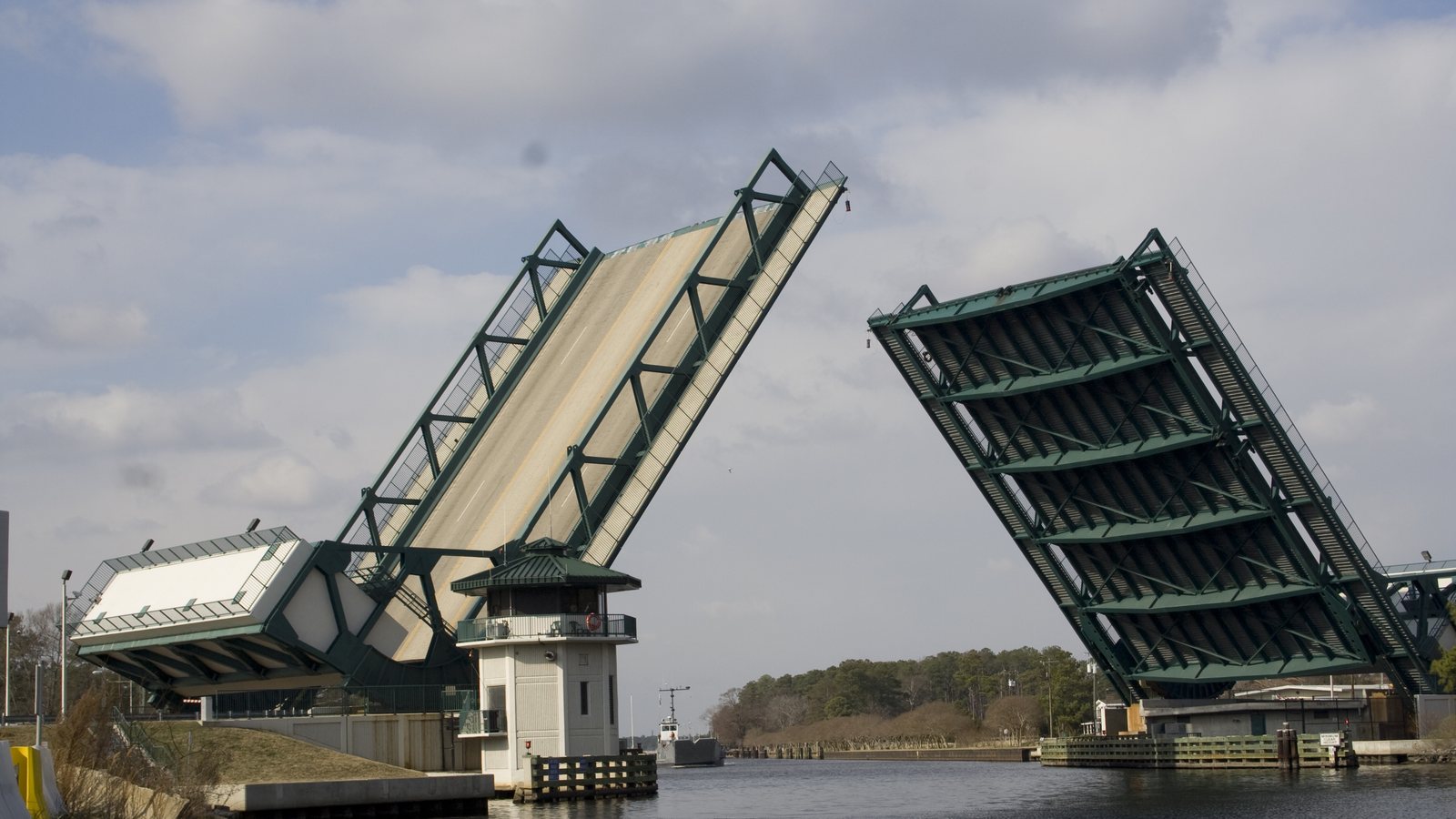
The Southern Branch industrial waterfront puts road access and the river edge into the same ground plan. Chesapeake’s bridges have different owners, and the local airport chart answers another question.
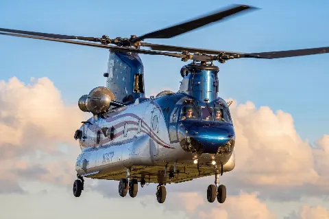
Photo: U.S. Army Corps of Engineers Norfolk District, 2008. Cropped and resized.
The Census Bureau’s July 2025 incorporated-place ranking estimates 255,332 residents in Chesapeake city. That city-proper count clears the stage-2 threshold. The original Virginia Beach guide was selected using the whole Hampton Roads metro; it does not represent Chesapeake’s ground access. The Virginia location index lists the cities separately.
The city’s Industrial Waterfront Study describes the Southern Branch of the Elizabeth River as a historic heavy-industrial corridor with access to Chesapeake Bay and the Port of Virginia. It also examines stormwater and recurrent flooding. For a proposed equipment move on a waterfront parcel, the receiving point, shore-side support area and water-side boundary need actual site plans. The study does not identify a helicopter project.
The current FAA approach chart for Chesapeake Regional Airport identifies CPK, runway 5/23 at 5,500 by 100 feet, AWOS-3 and Norfolk Approach Control. That chart orients a regional aviation review. It does not establish airport staging access or approve a suspended-load route to a waterfront site.
The National Weather Service’s September 2026 storm report records street flooding near Bowers Hill and the I-64/I-264/I-664 interchange on September 22. That was a past access disruption, not a current closure. Check the proposed truck approach and worksite conditions against the current forecast and road status. The weather-delay guide separates the flight window from ground access.
Chesapeake’s Bridges and Structures Division lists more than 90 bridges, including six drawbridges. Great Bridge on Battlefield Boulevard is city owned; the High Rise Bridge on I-64 belongs to VDOT, while Deep Creek Bridge belongs to the U.S. Army Corps of Engineers. A delivery route needs the actual crossing and owning authority. This inventory does not establish a heavy vehicle’s allowable load or require a bridge opening for a particular job.
The city’s Civil Permits page covers right-of-way, land-disturbing and stormwater permits. Its right-of-way process requires an approved construction plan and bond, with the permit issued to the landowner or a Virginia-licensed contractor. Whether a proposed support position enters city-controlled space must be measured first. A ground permit does not settle aviation authority. The site survey checklist records that footprint.
A waterfront rooftop unit needs verified equipment and roof data. The shore-side support position and public-way footprint remain separate checks.
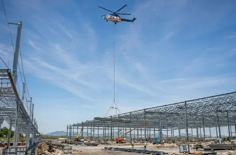
A large component approaching a canal crossing needs a confirmed road route, bridge owner, laydown area and receiving geometry.

CPK is an aviation reference, not an approved staging base. Exact site coordinates, current charts, obstacles and the proposed route need operator review.
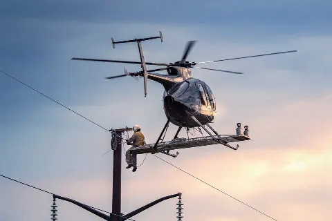
Utility work near a public road or industrial parcel needs the responsible property and right-of-way authority identified before equipment is positioned.
The Bowers Hill flood report shows why current road access and site conditions need checking alongside the forecast after heavy rain.
The city’s waterfront study treats the Southern Branch as an industrial corridor and examines flooding that affects land-use choices. A plant-equipment or rooftop-unit comparison there would need a verified load, property access and a receiving area clear of occupied ground. The load-weight guide explains the equipment record.
The bridge ownership list shows why a road approach cannot be reduced to “cross the canal.” City, state and federal structures sit on different routes. A large structural component would need a route and crossing review before the pickup location could be treated as reachable. No cited source says such a component is scheduled for helicopter placement.